Baldpate Hike Report 12-5-25
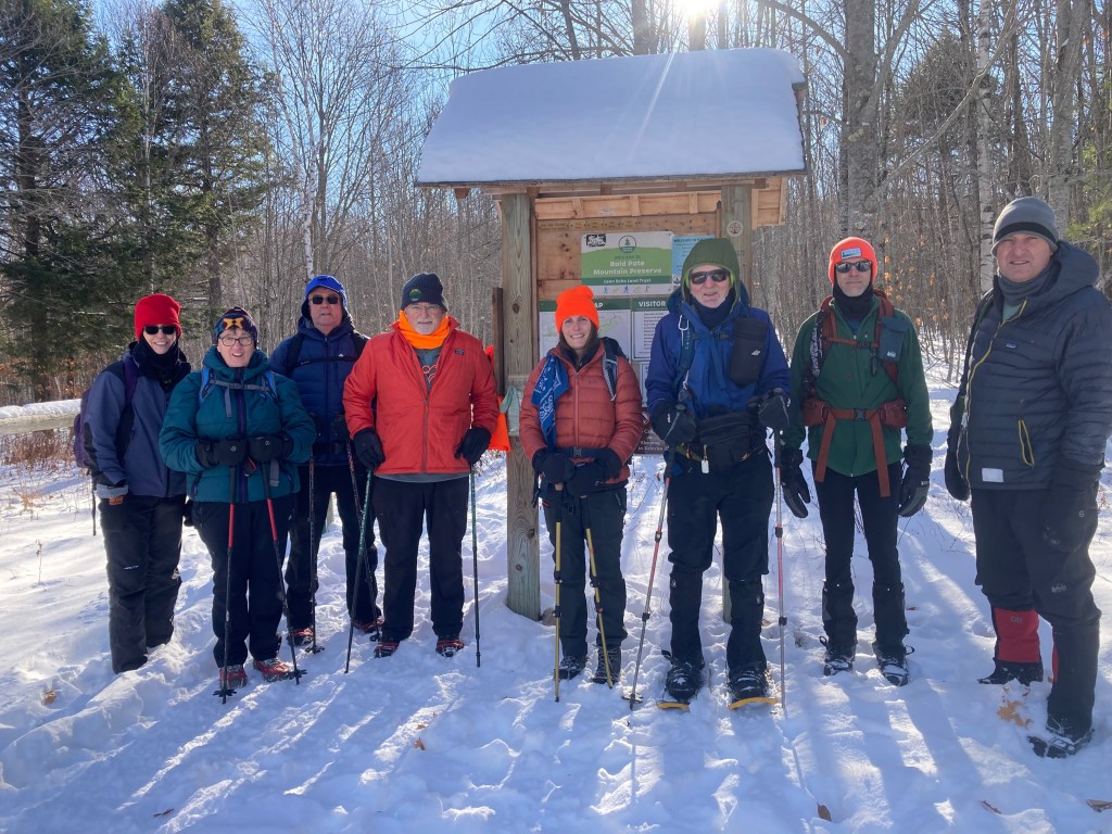
While we had all been looking forward to ascending Mt. Willard above Crawford Notch this Friday, it was decided to postpone that adventure the day prior based on the weather forecast that called for likely wind chills of -10 ° in the area. Bald Pate was a simewhat warmer but still chilly alternative: the temperature at the parking lot was about 5° degrees as a small band just nine of us gathered at 9:30 AM for our group picture.
We took the direct route to the summit, stood around for a few minutes commenting that it didn’t feel all that cold and then headed back down without even bothering to detour along the Bob Chase ridge line trail.as It had only a few tracks on it and we were eager to get down.
It wasn’t that cold until one demittened the hands in order to take a group summit photo


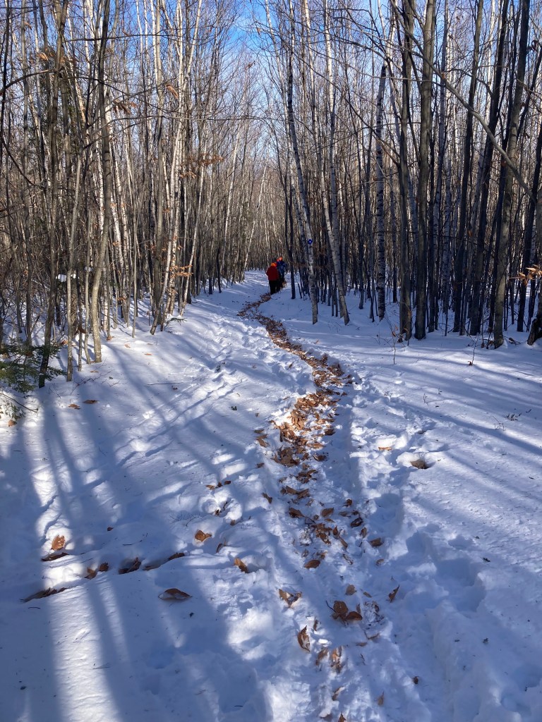
While there was no wind while we were there today, it was obvious that some serious wind had blown through overnight. The narrow trail that yesterday’s hikers had made had been filled in by wind blown beech leaes making for an interesting visual experience.
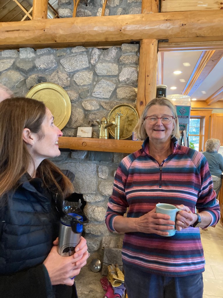
Once down, our group of nine adjourned to Rena and Jacob’s home on Peabody pond where another half a dozen or so “hikers” were already comfortably sitting by the fire eating cookies, drinking coffee, and thoroughly enjoying each other’s company. The dogs, Ruby and Piper seemed content to have stayed home in front of the fire and on the couch.


Hike report written by Jacob Schor
Mt Cutler – December 12
Our next hike will be up Mt Cutler in Hiram on December 12.
more info on Mt Cutler can be found at: https://townofhiram.org/mt-cutler
December 12 – Easy – Mt Cutler (1,232′), Hiram, ME. 3.1 mi RT, 832 ft elevation gain. RT hiking time 3.0 hours. Rt driving time 45 minutes.
Directions to the north trailhead: From the west end of the Saco River bridge on Route 5/113 in Hiram go north and turn on Hiram Hill Road (left turn, or west). The trailhead for the North Trail and White Flag Trail begins off Hiram Hill Road on the left at the first turn beyond the railroad tracks.
or set your GPS thing for the trailhead parking address:


Leave a comment