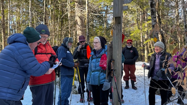
The skies were bright, sunny and the temp was 20 degrees when 10….make that
11, Denmark Mountain Hikers gathered at the Greater Lovell Landtrust trailhead.
We took our obligatory group picture at approx. 9:20 am just as Tina was pulling
into the parking lot.
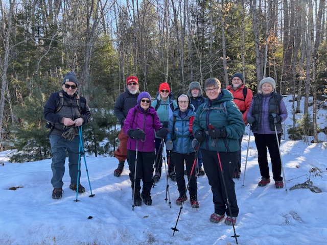
Hiking today were Dale and Kitty Nelson, Jane Gibbons, Geneva Barker, Steve Kelly, Pat Marichetti, Kathy Hutchauson, Tom Dugas, Laura Sullivan, Phil Johnson and Tina Estes. Our objective was Amos Mt. (named for Amos Andrews, who had a homestead on the south slopes of the mountain) via the Homestead, Hemlock Loop and Amos Mt. trails, returning via part of the Heritage Loop Trail back to the Amos Mt, Hemlock and Homestead Trails.
As the recent warm weather had reduced the snowpack and the cold temps Thursday night had thrn hardened the snow, micro-spikes were the appropriate choice over snowshoes or bare boots.
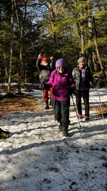
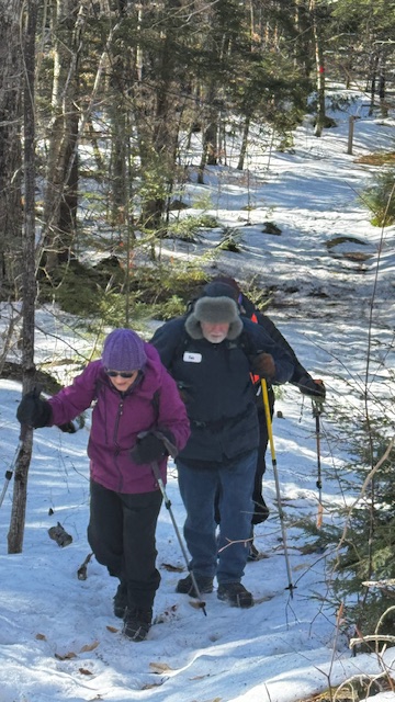
We left the trailhead at 9:30 AM with Laura leading and Phil as sweep. Laura did a fine job of leading, stopping at every junction where there are handy permanent trail maps on signposts and Dale stayed in the middle keeping her and Phil in sight. We generally stayed together as a group the entire time. The upper reaches of the hill were almost devoid of snow.
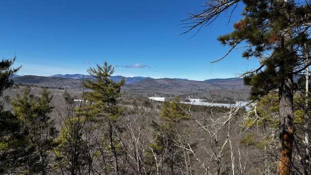
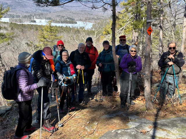
We reached the summit at approx. 10:30 AM basking in sunlight while taking in the views. After a short break, we took our summit photo and headed down the Heritage trail to the “El Pupito” rock coined by the previous owners of the property. We ventured on to the SW view outlook where we took pictures and admired the view west to Upper Kezar Lake, Kearsarge
North, the Baldfaces, Evans Notch, Carter Moriah Range, Wildcats and a peek of
Mt. Washington. We then continued on to the junction with the Amos Mt. trail
and followed the afore mentioned trails back to the parking lot, arriving at approx.
12:20pm. Best guess is about 3 miles total.
With a couple of exceptions, we then made our way to the Center Lovell Market/Restaurant to enjoy some delicious seafood chowder before departing.

Reminder: March 20 Peaked Mtn.
This week’s hike is to Peaked Mtn. in North Conway. Trailhead is located at Address: 252 Thompson Rd, North Conway. Only park in the lot and don’t leave your car on the road. Here are the GPS coordinates to plug into your map thing: 44.04507, -71.1112 or a Google Maps LINK
Moderate – Peaked Mountain (1,734 ft), North Conway, NH – 4.2 mi RT, 1,200 ft elevation gain. RT hiking time 3.5 hours. Driving Time: just a bit more than one hour RT from Denmark.

Leave a comment