Fifteen Denmark Mountain hikers gathered at the parking lot off the Kancamagus
Highway on Dugway Road in Albany, NH on a surprisingly sunny morning with
rising temperatures rising under a bright sky. The weather report had predicted showers with slowly clearing skies as the morning progressed, but Mother Nature accelerated that timeline, much to our surprise.
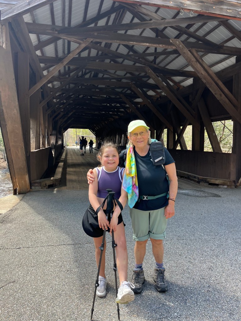
Hiking today were David Atchason, Jim Wilson, Polly Lombardi, Susan Sedita and Gianna, Jean Murch, Claudette Croteau, Robin Marciello, Janet Arens, Toni Carros, Ron Paquette, Jeff Sturgis, Jacob Schor with Ruby and Piper, Kathy Huchthausen and Pat Marchetti. Gordon Farrell met us in the parking lot, filling
out the roster, handing out maps and bandanas to which he had added the DMH logo, but he was unable to hike. Polly Lombardi took over and got us organized and onto the trail around 9:45 AM.
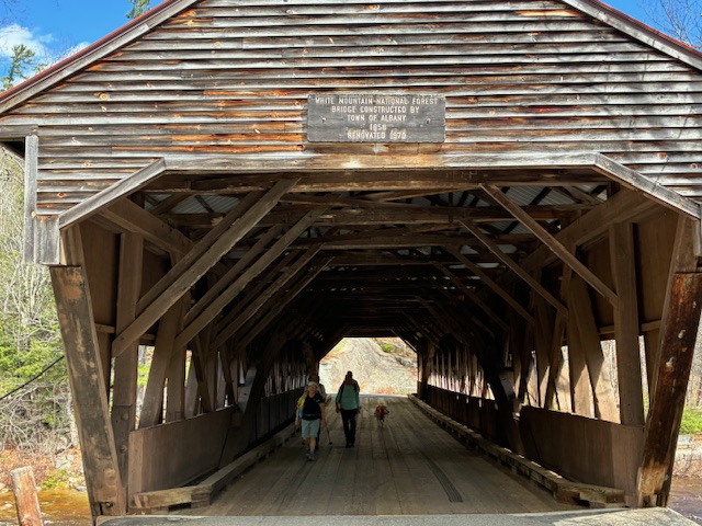
We crossed the Swift River on the old covered bridge, which is gated off over the winter, and proceeded to the trailhead.
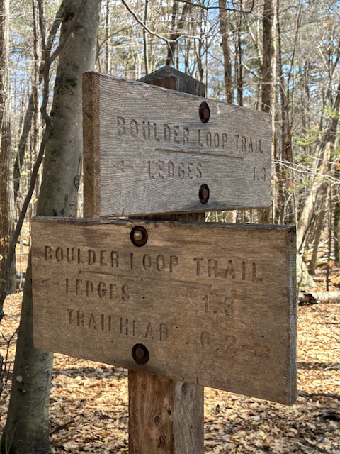
We decided to hike the loop counterclockwise taking the right hand option at the loop junction about .2 miles from the trailhead.
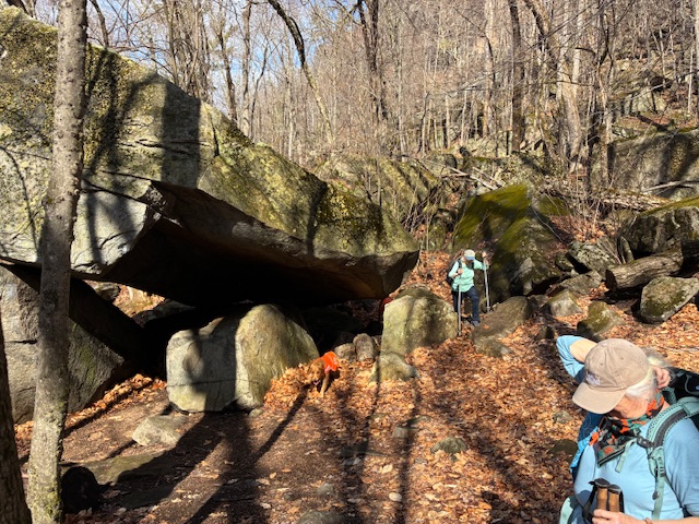
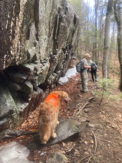
Soon we hiked through the impressive boulder field filled with some large boulders resting on top of others forming mini caves beneath them.
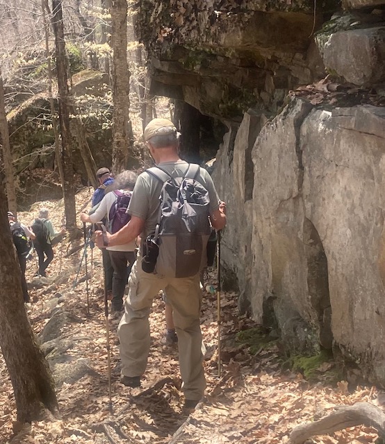
The trail rose gradually through a largely deciduous forest with some nice views due to the lack of leaves on the trees. As we neared the summit, the trail became steeper and more rocky underfoot. The temperature had started out in the 50’s, but under a strong sun, it rapidly rose into the 70’s over the course of our ascent.
This unexpected heat surprised some of us who had to shed layers and who still labored somewhat, not being acclimated to hiking in the heat so
early in the spring.
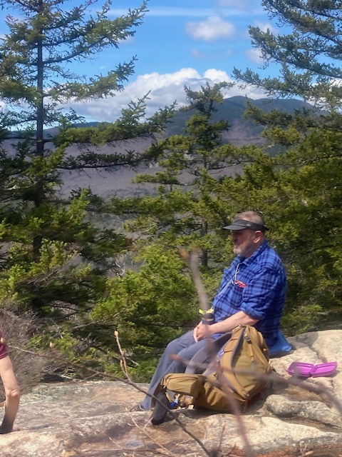
We spread out over the trail with the lead group reaching the bare ledge of the summit at around 11:25 AM and the “rear guard” arriving about 10 minutes later. The weather at the top was glorious with great views of the Swift River Valley and the the mountains,including Chocorua, to the west.
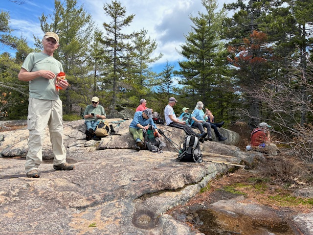
We spread out on the ledge enjoying the sun and each other’s company for a full half hour. We took our summit picture at 12:05 and slowly began our descent.

The trail down was remarkable for its proximity to several ledge formations that loomed over us. At one spot, the ledge still had several protected patches of snow adjacent to the trail. The snow melting above dripped over the edge and splashed us as we scooted by.
As we hiked the lower portions of the trail, the leftover leaf drop from last fall caused some slippery conditions as the wet leaves covered the rocks and roots on the trail.
However, we all arrived safely at the loop junction at 1:30 PM. Here the signage listed the two halves of the loop at 1.3 and 1.8 miles for a total of 3.1 miles.
Adding in the .2 miles to the trailhead, most trail reports list the hike at from 3.2 to 3.6 miles. However, when we reached the trailhead at 1:40 PM, our AllTrails app and one other gps tracker had the mileage covered at around 4.6 miles with about 1000’ of elevation gain and 4 hours (including our 30 minute lunch break) on the trail. Most of us agreed that our fatigue factor indicated that we had covered the longer distance! While this hike is generally considered a moderate hike, it certainly was a beautiful, but rigorous hike under unseasonably warm conditions as we transition from our winter to our summer schedule.
This report submitted by Jeff Sturgis
Two hikes for next week. April 24, ,2026
April 24 – Moderate – Chandler Gorge (900 ft.), Evans Notch, NH.
3.4 mi RT, 200 elevation gain. RT hiking time 3.0 hrs. RT driving
1 5 hrs. (Dual Hike-see below)
A pretty cascade comes down the mountain with some pools. We’ll be hiking on the Baldface CircleTrail and Slippery Brook Trail.
April 24 – Difficult– South Bald Face shelter or beyond (2,130 ft),
Evans Notch, NH – 5.0 mi RT, 1,600 ft elevation gain. RT hikng 4.0 hours. RT driving 1.5 hours. (Dual Hike-see above)
for either hike meet at the Denmark church at 8:30 a.m. The destination is the shelter at the base of the South Bald Face cliff. This group may decide to go
beyond the shelter to the cliffs or the summit
Directions to trailhead:
Baldface Circle Trail Trailhead, 2223 Main Rd, Chatham, NH 03813

Leave a comment