May 29, 2026
We had two separate hikes this past Friday on what turned into a lovely day despite the threatening rain,
Hermit Falls Hike Report: May 29, 2026
(Report submitted by Jeff Sturgis)
At the beginning of the week, the weather reports indicated a rainy Friday. As the week progressed, the rain was pushed later and later in the day. So, it was with a great deal of optimism that 16 Denmark Mountain Hikers gathered at Basin Pond in Evans Notch for their weekly hike.
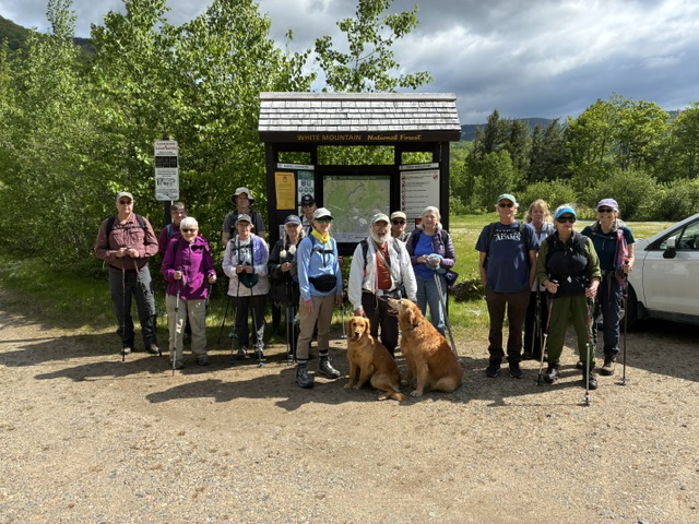
Hiking today were Jeff Sturgis, Jacob Schor with Ruby and Piper, Andrew Bradford, Kathy Huchthausen, Tina Estes, Jennifer Schmidt, Greg Dean, Pat Marchetti, Jane Gibbons, Jean Murch, Sandra Bell, Polly Lombardi, Laura Caissie, Robin Marciello and Dale and Kitty Nelson.
The weather had a “Goldilocks” quality; not too hot, not too cold and sunny with a slight breeze that mitigated the nuisance of the first bugs of the spring season. The Basin is a beautiful, horsehoe-shaped bowl on the west side of Evans Notch nestled below a mountain rim that stretches north from the Baldfaces to the Royces. Hermit Falls is at the back of the basin tucked under that rim.
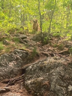
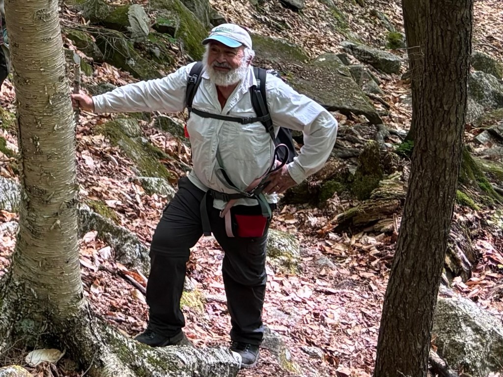
We organized, took our kiosk picture and hit the trail at 9:40 am. With such a large group, we spread out over the trail reflecting the various paces of the group members. (Piper apparently took the lead while Ruby hung to the rear of the line as Jacob was the sweep) The trail first skirts the south side of the pond then crosses Basin Brook, then a bridge over a dry washout and finally heads deeper towards the basin wall. The trail around the pond was boney and wet in some places and crossed several small brooks before we reached Basin Brook. After crossing the brook and the nearby bridge we enjoyed the fairly flat walk through a blooming deciduous forest until, at 10:35 am and a little over a mile, the main body reached the junction with the Rim Junction Trail, which, as its name suggests, rises quite steeply to the rim. The trail to Rim Junction peels off to the right and, on the left, a short spur leads to the falls.
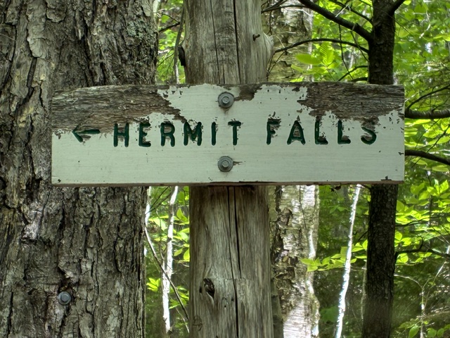
From here it was a short jaunt down, and then up the spur to the falls. The falls are fairly broad, with the water cascading over “steps” at the top with the channel narrowing at the bottom.
Reaching the falls by 10:45 am, we enjoyed a pleasant 20 minutes eating snacks and lunches in the coolness of the mist and the shadows of the surrounding ridges above.
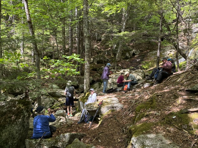
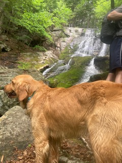
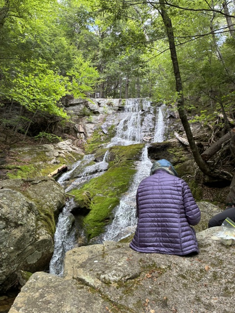
After our group picture at 11:10 am, we started back down the trail at a steady pace marveling in our good luck that the rain, predicted for the afternoon, was still several hours in the future. We filtered into the parking lot around the noon hour, and some of us scouted out the shore of the pond with Greg finding a number of milk snakes that make their home there. It was a very nice hike with the only disappointment being that the Stowe Corner Store, that had been open when we passed iby in the morning, had closed when we came by in the early afternoon. No ice cream for us!
NOTE: We are preparing the summer hike schedule. If you have any recommendations for hikes you would like us to schedule, please forward their names to: jeffreysturgis54@gmail .com
Speckled Mountain May 29, 2026
(Report submitted by Greg Moulton)
Five Denmark Mountain Hikers climbed Speckled Mountain in Evans Notch, Maine on Friday, May 29, 2026.
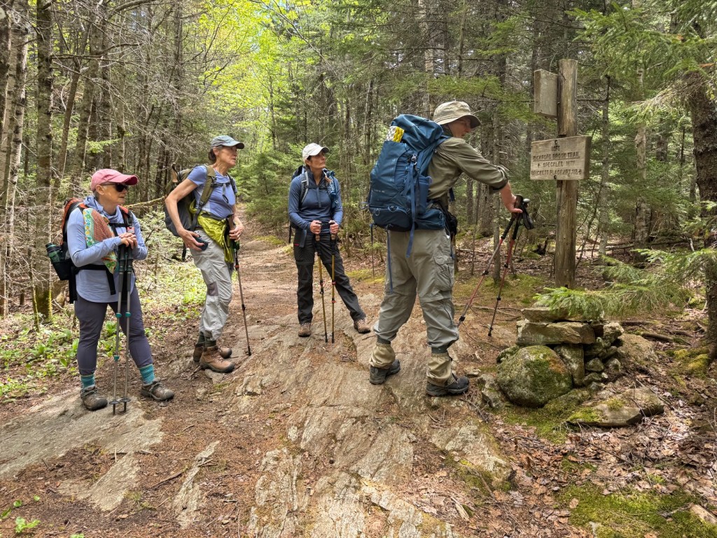
Hiking today were Greg Moulton, Louise Jensen, Carol Strozewski, Janet Arens, and Laura Sullivan. We ascended via the Spruce Hill Trail, then the Bickford Brook Trail to the summit, and returned by the same route. The Spruce Hill Trail leaves the east side of Route 113 just north of the height of land in Evans Notch.
We started on the trail at 9:40 AM. The weather at the start was ideal for hiking: temperatures in the low 50s, later rising into the 60s, with partly sunny skies, and an occasional cool breeze. The forecast called for rain starting mid-afternoon, and our hope and plan was to be done or on the way out by then. Mosquitoes were active in the parking lot, so we put on insect repellent. They weren’t too bad on the trail most of the time, especially if we kept moving. If we stopped, they would come after us, which was a good incentive to keep moving. The breeze helped deter them, especially at the summit.
The trail was very pleasant. It would ascend moderately by spells but then level off to allow us to catch our breath. It was relatively smooth with good footing (for a New England trail…). There were no really steep or difficult sections, except for a token mini-scramble on the final approach to the summit. The trail ascends through beautiful forests, deciduous trees below and coniferous trees above, with occasional views through the trees.
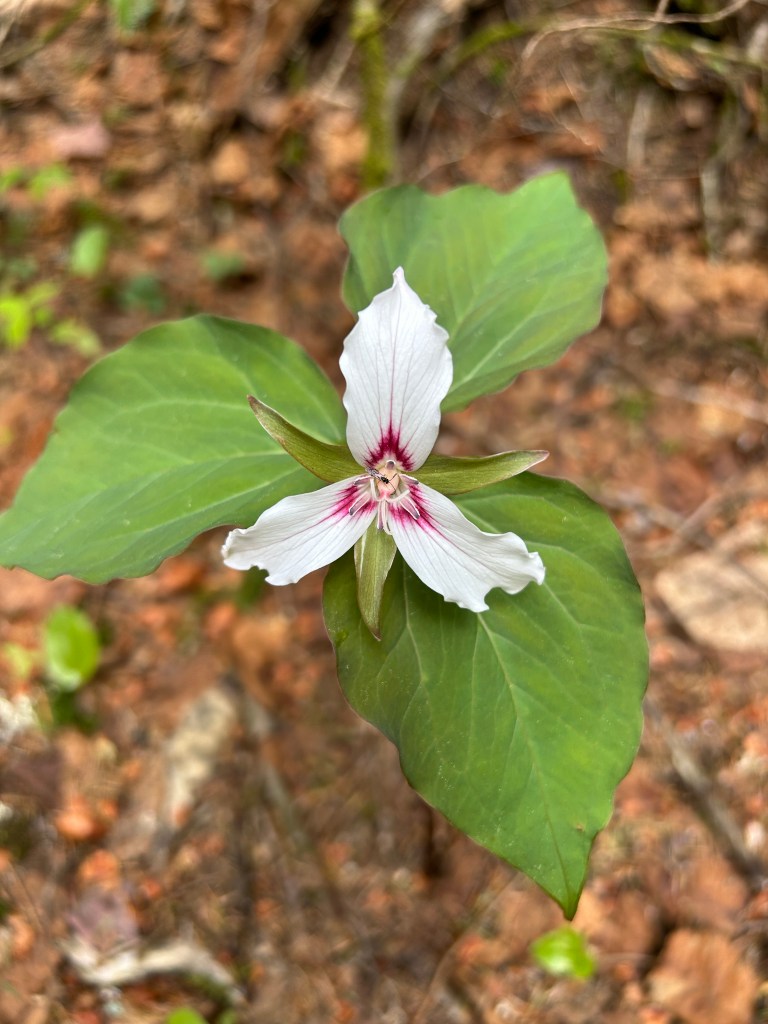
We saw a lot of trilliums (Because trillium comes from Latin, you may see the Latin plural form trillia or trillii, depending on the gender assigned to the plant, but trilliums is accepted and used in everyday and botanical English.), and some of the hobblebushes were showing off beautiful white blossoms.
We saw moose poop but no moose.
We reached the summit at 12:10 PM. The summit is beautiful; open ledges with a panoramic view, especially to the north and west, including Mount Washington and many other mountains.
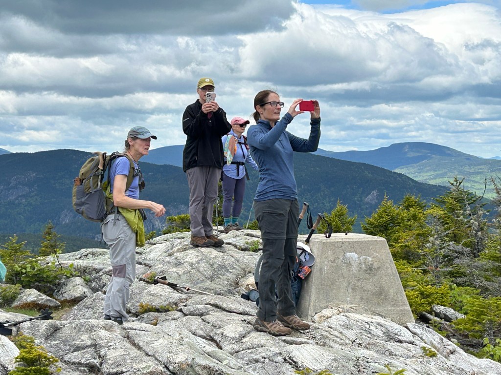
We had dueling PeakFinder apps going to identify them all. The weather was still partly sunny, with good visibility. There was a strong breeze, which was refreshing at first, but led us to seek a sheltered spot for lunch.
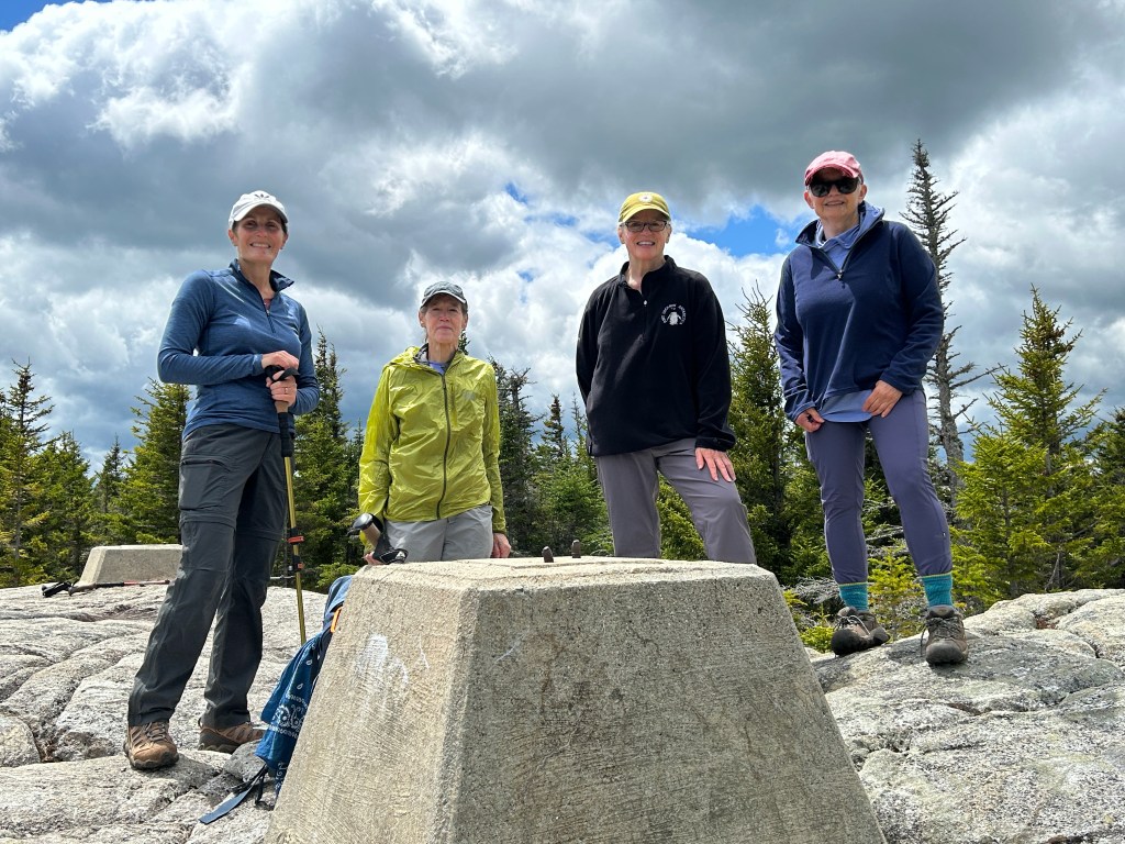
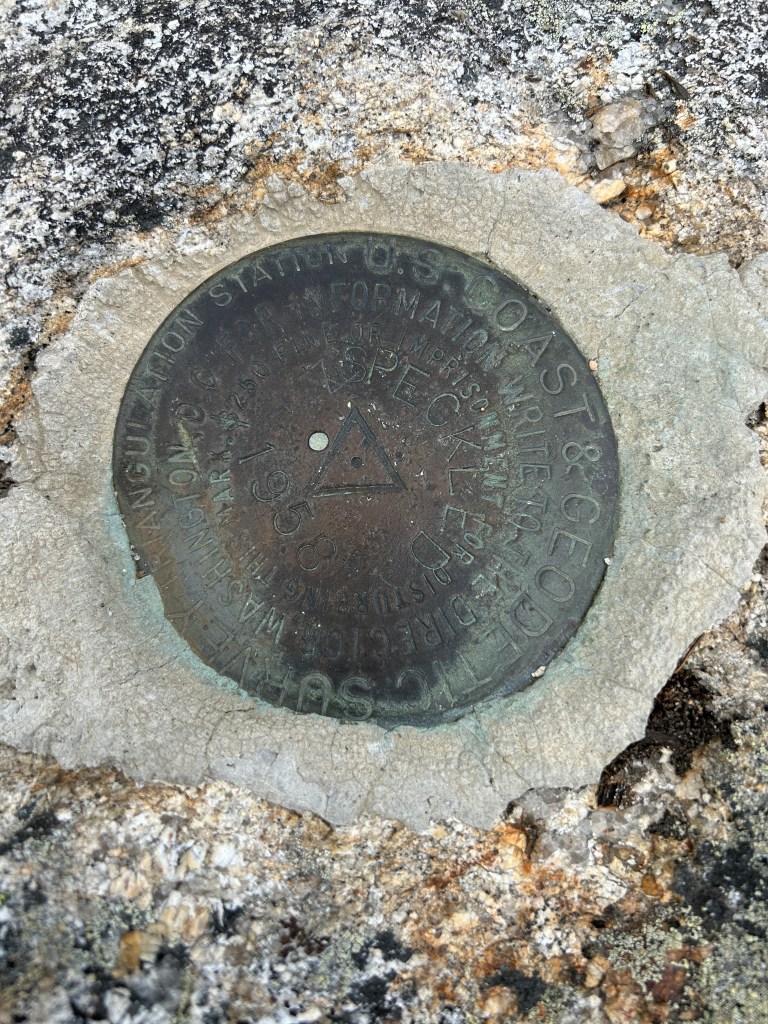
The summit had concrete foundations from the old fire tower, and also a summit benchmark. There is apparently a tradition of taking a picture of the toes of hiker’s boots encircling the benchmark. Greg had never heard of this tradition, and was glad to finally be enlightened.

We spent 35 minutes at the summit, eating lunch, admiring the view, and taking pictures. We started down at 12:45 PM. We made good time on the descent, as clouds thickened overhead. As we neared the end, a light rain began to fall. At that point we didn’t care, and just powered our way down to the parking lot, finishing at 2:40 PM.
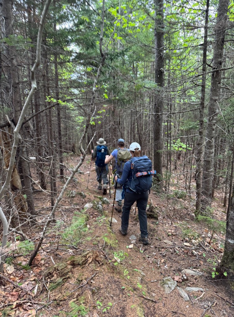
Greg’s GPS showed a distance of 6.4 miles, 1804 feet elevation gain, in 5 hours. All agreed it was a great hike, not to mention our excellent timing with the weather.
Next week’s hike
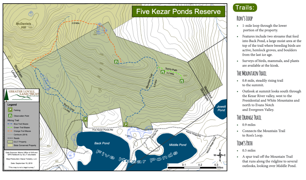
Hike to Five Kezar Ponds
June 5 – Moderate – 3 mi RT, 600’ elevation gain, RT hiking 3 hrs, RT driving 1 1/2 hrs
Meet at the Denmark church at 8:30 am.
This week’s hike will be at the Greater Lovell Land Trust’s property known af Five Kezar Ponds. The ponds will be below us while we navigate the heights of their preserve. There are two trailheads in the preserve just 0.3 mile apart. Our plan is to park in the one to the east and if we run our of space to put a few cars in the west lot. Both lots are on Five Kezar Ponds Road. The east lot is the trailhead for the Mountain Trail. The west lot is the trailhead for the Ron’s Loop Trail. Starting from the east lot we will hike counter clockwise up the Mountain Trail, and over the high point and come down Ron’s Trail. I believe but am not certain that the coordinates of the west lot are HERE. and that the east lot is 3/10th of a mile closer and approximately at 44.212587, -70.811067. [This is when you say, “Don’t believe everything you read online.]. Written directions from Dale Nelson will follow and may prove more reliable.
Directions to the Trailhead:
From North Waterford, begin at P & Kay’s gas station on Route 5. turn right onto Route 35 (Valley Road), then right again onto Five Kezars Rd. At almost 2 miles turn right onto Kezars Ridge Road, and follow this road for about 0.6 miles. Shortly thereafter a sign marks the first GLLT trailhead, with the trailhead for Ron’s Loop being another 0.5 miles down this road.
From Denmark, follow rte 117 through Bridgton and turn left on Rte 37 by Bridgton Academy. Go left on Rte 35 in Waterford and when opposite the former Melbys in North Waterford (which sadly closed in September 2022), turn left on Five Kezars Rd. Then follow the directions above to the trailheads.
The mileage to the Kezar Ridge Road from the former Melby’s market is spot on and it’s signed. Then the mileage to the first trailhead is .9 miles on the Kezar Ridge Road and the mileage to the second trailhead is .3 miles. Just before the first trailhead the road does fork and we need to bear right where there are tons of camp signs on a tree. Seeing there is more parking at the first trailhead we will park there and hike counterclockwise and then walk the .3 back to our vehicles.
NOTE: Dale doubled check the directions earlier this week and adds in his scouting report: “Judging by the amount of black flies bothering me this morning at 46°, I strongly suggest bug dope and nets.”
In an earlier hike announcement, we had mentioned that Polly was contemplating bringing kayaks to paddle on the lakes after we finish this hike. Wiser minds have prevailed and curbed her enthusiasm. Instead we will discuss organizing a separate paddle day in the near future. These ponds are notable as power boats are prohibited on them.
Below is a link to updated versions of last week’s hike reports. The earlier version sent out lacked some the excellent photos that Laura shared with me and I accidentally deleted.
Hike Report Hermit Falls and Speckled Mtn..
(Jacob Schor)

Leave a comment