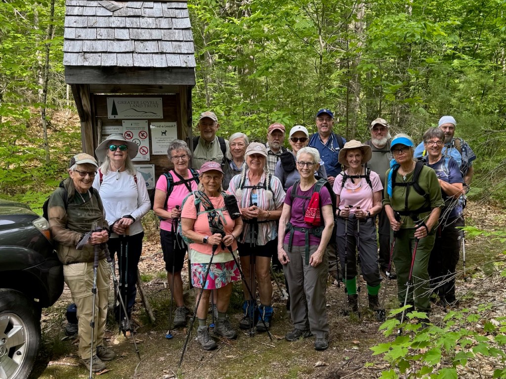
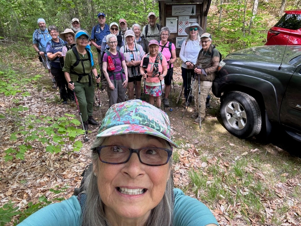
Friday promised to be a lovely but warm day for a hike. After leaving the church in Denmark and from our individual homes, 16 hikers met at the Mountain Trail parking lot with the exception of Steve Kelly who parked at Rons loop lot and road walked back to meet us. Hiking today were Dale and Kitty Nelson, Jeff Sturgis, Jean Murch, Laura Sullivan, Jane Gibbons, Geneva Barker, Sandy Bell, Beverly Reid, Dianne Campos, Kathy Hutchauson, Phil Johnson, Robin Marciello, Tom Dougas, Polly Lombardi, Susan Sedita and Steve Kelly.
Prior to starting, Friday’s hike leader Dale Nelson quizzed every one as to whether they had adequate water. It’s that time of year where heat causes more problems than cold seems to for us in the winter.
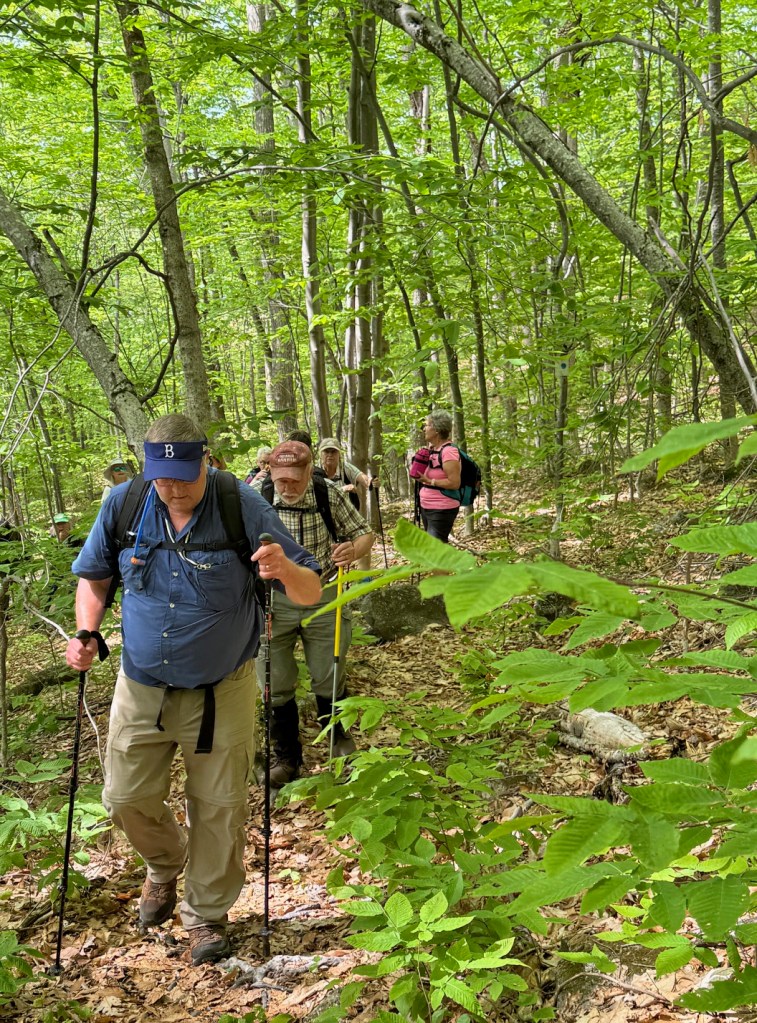
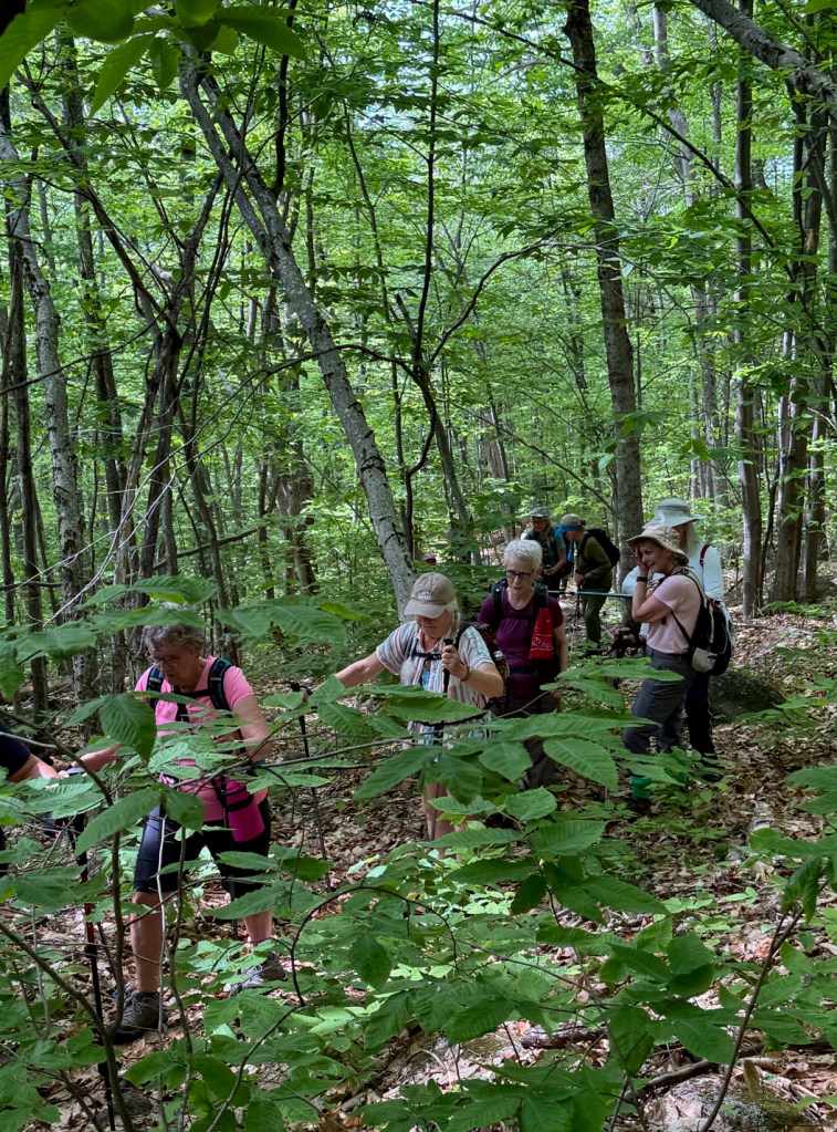
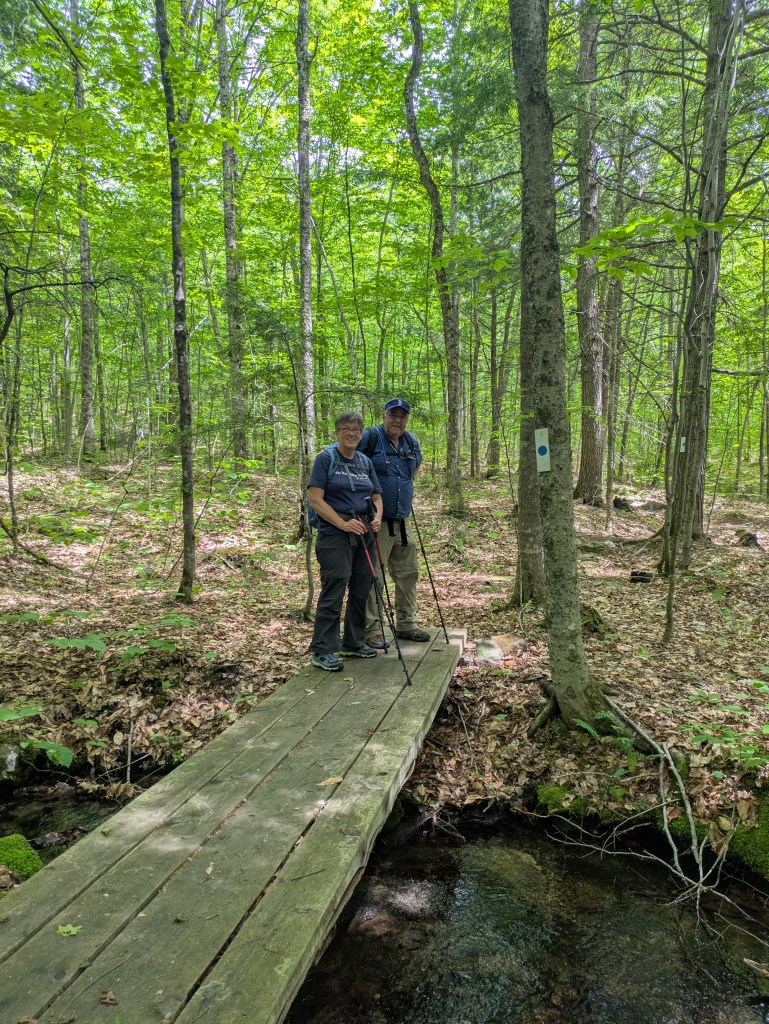
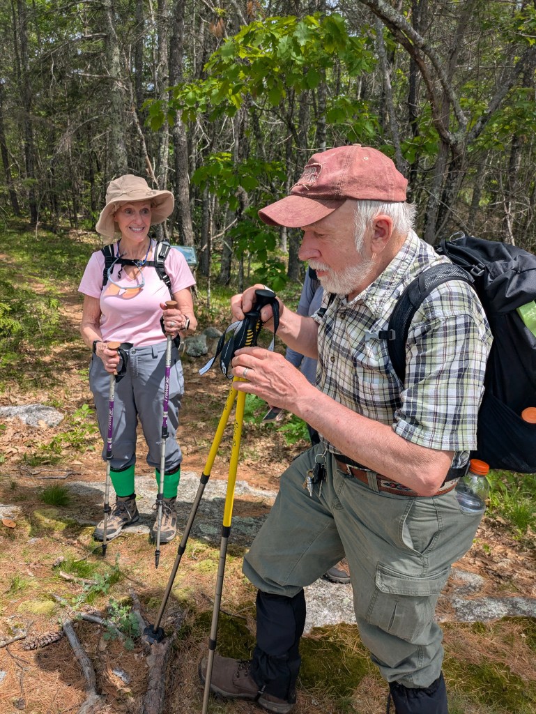
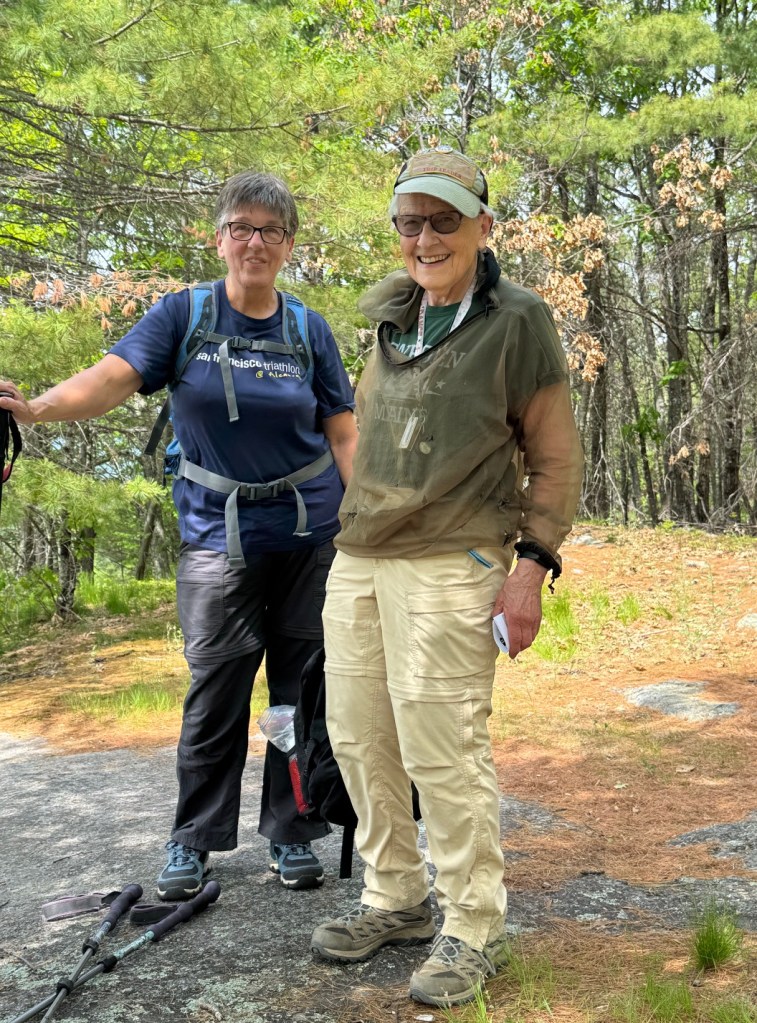
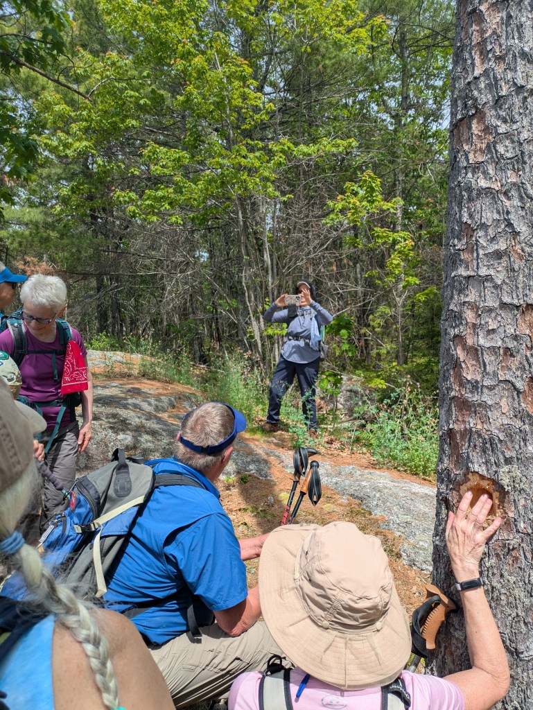
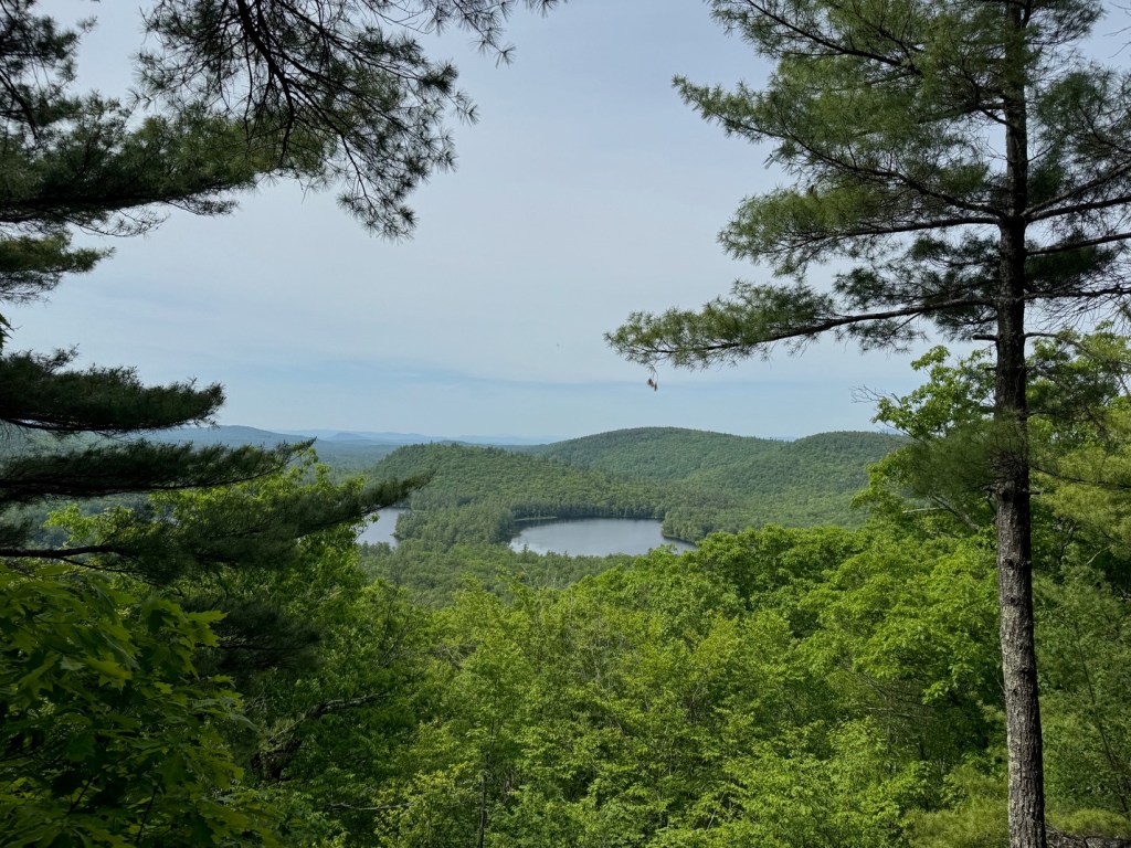
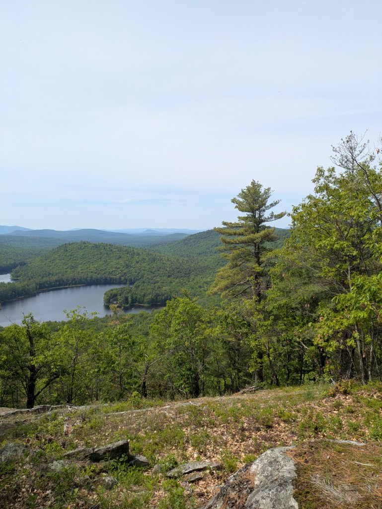
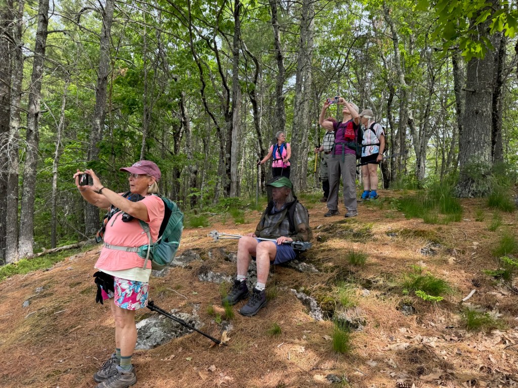
After our group photo, we began walking at approx. 9:30am with Laura leading and Steve serving as sweep. We stopped occasionally to hydrate (aka drink water) as the day’s temperature was getting rather warm. Upon reaching the intersection with the Tom’s Path spur trail, all but five of us elected to go over to admire the view atop Jewett Pond Hill. The remaining five continued on and would stop at the next viewpoint on the summit of Mt. Reho and wait for us there. After a short stop to admire the view, we all backtracked to the intersection and continued on to meet the other five at a lovely ledgy perch at the summit. It was evident that the trees had been cleared a bit to open up the view of Back and Middle Ponds and beyond. After a snack break and the manatory summit photo, we headed down at 11:15am via the orange link trail and Ron’s Loop trail, stopping to admire a single Lady Slipper that was very close to the footpath. We slowed coming down a bit making sure everyone was aware of a couple of tricky spots where the trail was relocated recently. We were spread out a bit but all reached the Ron’s loop trailhead parking lot and did the .3 mile road walk back to our cars at 12:20pm. The exception was Jane who hitched a ride with Steve in his new truck back to the first lot. She was forgiven as she turns 90 later this Summer.
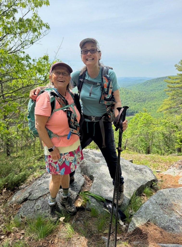
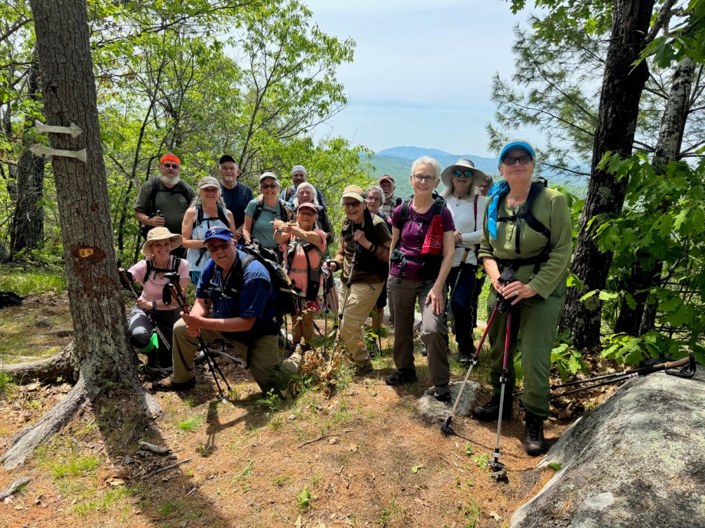
Given how many times this group has posed for group photos — weekly at the start of each hike, and at our ‘summit’ or lunch stop — ( for fifteen years) one might assume that it would be easy to organize the group quickly into a few rows, with the taller people in front and Robin in the back, some hiding behind trees and everyone facing the camera. It takes discipline and practice. But it is a tradition to capture these photos for the hike reports so we will continue to attempt to do so.
A bit more information about Fiver Kezar Ponds:
Conserved between 1998 and 2018, the Five Kezar Ponds Reserve consists of 316 acres of forests, wetland, and shoreline at the headwaters of the Kezar River. The first 10 acres were bought in 1980 by 12 families on Back Pond and deeded to the Greater Lovell Land Trust (GLLT) in 1998. Another 306 acres were conserved in 2006, 2010 and 2018 through the generosity of members and friends of the Five Kezar Ponds Watershed Association.
There are two trailheads and four trails on the property. Ron’s Loop is a 1 mile loop through the western portion of the property. This is a conventional hiking trail with an earthen surface dotted with roots and rocks. The trail has some wet areas traversed by bog bridges, rewires crossing wooden bridges, and has some moderate inclines. The trail is named in memory of Ron Geswicki, who helped conserve and care for the land.
The Mountain Trail is a 0.8 mile, steadily rising trail to the summit with a view south through the Kezar River valley and west to the Presidentials and White Mountains. This is a conventional hiking trail with an earthen surface and roots and rocks frequently in the trail.
The Orange Trail is a 0.9 mile connector linking the Mountain Trail to Ron’s Loop.
Tom’s Path is a 0.2 miles spur trail off the Mountain Trail, with several vantage points overlooking Middle Pond. The trail is named in honor of Tom Henderson, who served as GLLT’s Executive Director for many years.
Next Week’s Hike
June 12 – Moderate – Low’s Bald Spot (2,875 ft.), Pinkham Notch, NH. 4.4 mi RT with 950 ft. of elevation gain. RT hiking 4.5 hours. RT driving 2.5 hours.
Meet at the Denmark Church at 8:30 am. The trailhead is located at the Pinkham Notch Visitor’s Center is located off Route 16 in Pinkham Notch. It’s a sixty to 75 minute drive from Denmark to there.

Leave a comment