June 19, 2026
Jeff Sturgis
Seventeen Denmark Mountain Hikers gathered at the Mt Tom Preserve parking lot that serves as the trailhead for the West Ridge Trail. The plan was to combine the ascent of the West Ridge Trail with the descent of the old original Mt Tom Trail to form a loop. We spotted two vehicles at the trailhead of the Mt Tom Trail, which is two miles up Menotomy Road so that those who wished to skip the road walk to their vehicles could get a ride down.
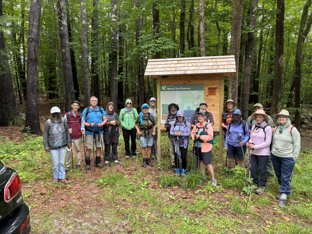
Hiking today were Jeff Sturgis, Paul Waterhouse, Jacob Schor, Pete Stickles, Kathy Huchthausen, Greg Dean, Jean Murch, Robin Marciello, Phil Johnson, Janet Arens, Mary Wingate, Beverly Reid, Diane Campos, Sandra Bell, Dale Nelson, Kitty Nelson, and Allison Cooke.
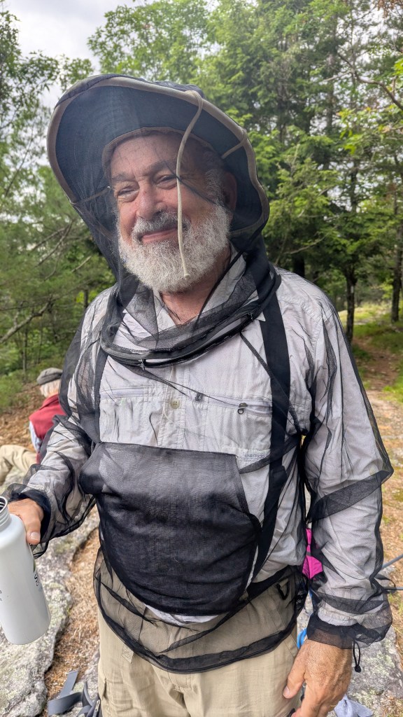
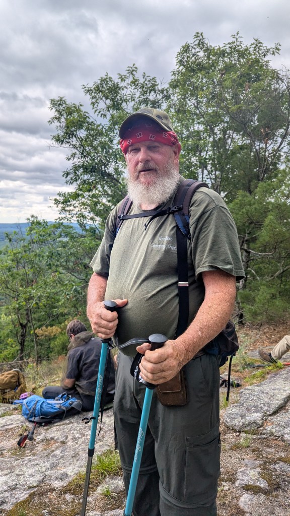
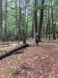
It became obvious when we got out of our vehicles in the parking lot that this was going to be the first seriously “buggy” hike of the spring. Insect repellent and head nets soon appeared as we prepared for the hike. After spotting the vehicles, organizing and taking out trailhead photo, we hit the trail at 9:20 AM.
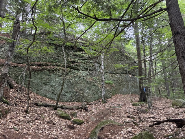
Mt Tom’s elevation is 1073’ and the elevation gain over the 1,5 miles of the West Ridge Trail is a modest 659’. The first half of the trail is fairly level with some modest ups and downs and a few small stream crossings. After about 30 minutes, on the trail starts to rise steadily and passes an impressive rock formation.
Near the top it intersects with the old Mt Tom Trail and keeping to the right the summit is just a few minutes away.
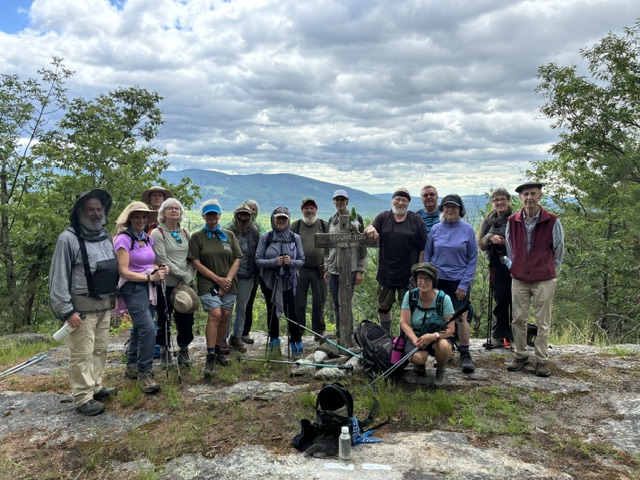
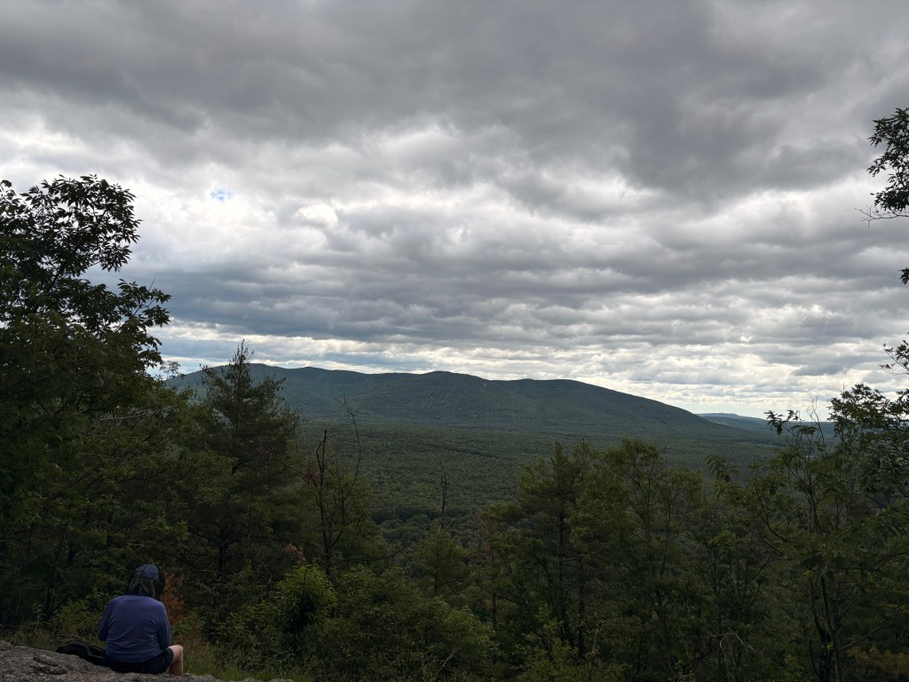
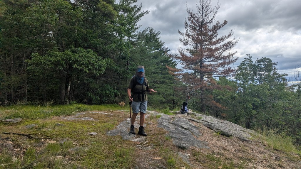
We were relatively spread out on the trail, but we basically reached the summit around 10:30 AM where we found that the view to be limited by the trees on either side of the summit’s opening. We did get a nice view of the Saco River below and a complete view of Pleasant Mountain Ridge to the east.
The weather was seasonably warm, but the promised winds did not really materialize, so the bugs didn’t really dissipate much at the summit. One of our hikers summed up the conditions as “Muggy and Buggy,”,[A rather euphemistic description. Robin more appropriately used one word, “Brutal.”]
After about 20 minutes, with lunches and snacks quickly consumed, we took our summit photo and headed down the old Mt Tom Trail.
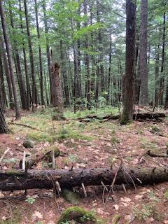
This section of trail is wider following an old woods road and probably accommodates snowmobiles in the winter. The upper part of the trail descends quite quickly under a beautiful canopy of tall trees, both deciduous and hemlock, with very little understory.
Further down, the trail broadens and is more grassy and wet with several cleared “yards” on both sides due to recent logging. The trail approaches Menotomy Road alongside some homes and seasonal cottages that are above a large grassy field that gives a great view of the White Mountains to the west. Upon reaching Menotomy Road around 11:40 AM, some us decided to walk the two miles to the parking lot and some of us took advantage of rides in Dale’s and Jeff’s pickups. Upon reaching our vehicles we were treated to some of Jacob’s delicious carrot cake with cream cheese frosting as a reward for our exertions. Eating it while wearing a head net proved to be challenging for some of us. We would have preferred to spend more time socializing and helping to finish off the cake, but the mosquitoes drove us to end our little party prematurely and head home a little after noon.
The Summer Hiking Schedule is posted https://denmarkmountainhikers.com/2479-2/
Next week is June 26th and we have two hikes scheduled:
The Roost or East Royce
The Roost is relatively easy: The Roost (1,364 ft), Evans Notch, ME – 1.3 mi RT on the trails with 514 ft elevation gain. RT hiking 1 hour. RT driving 2 hours.
While,, East Royce is kind of difficult: Difficult– East Royce (3,114 ft), Evans Notch, NH – 2.8 mi RT, 1,316 ft elevation gain. RT hiking 4.0 hours. RT driving 2.0 hours.
Here are Allen’s descriptions from the last time we hiked them:
The Denmark Mountain Hikers try to climb the Roost in Evans Notch about once a year, usually in the summer so that we can take advantage of the swimming hole where the Wild River and Evans Brook join.
In the past we’ve done the loop trail in the clockwise direction, starting at the trailhead near the old logging town of Hastings, hiking down to the Evans Notch road and walking back along the road to where we left our cars at Hastings. Perhaps we’ll do that this year or perhaps we’ll reverse directions.
The Roost
The Roost is a small peak, only 1,374 feet in elevation, but after a short sometimes steep climb, hikers emerge on a ledge facing southwest. There is no view from this ledge but a Forest Service sign “Scenic View” and arrow directs the hiker to a more exposed ledge only 0.1 miles down the mountain to the west. From this second ledge there are expansive views of the western mountains of the Wild River Wilderness – well worth the side trip.
East Royce:
The first time the Denmark Mountain Hikers climbed East Royce in Evans Notch was on August 2011 and since then we have climbed it a total of 7 times including our 2023 hike. I swear the climb has gotten harder, rockier, steeper, and longer every time since our first hike 12 years ago.
As I have grown older the trails that I climbed in the Whites 60 years ago have grown longer, and steeper, and much more difficult. Even when hiking familiar trails my mind easily remembers the spectacular views and pleasant stretches but blocks out the steep and rocky scrambles and the tricky stream crossings along the way. East Royce was no exception.
more information is posted at https://denmarkmountainhikers.com/2026/06/22/two-hikes-friday-june-26th/

Leave a comment