The Denmark Mountain Hikers went on two separate hikes last Friday. Ten hikers went up to look at the old Redstone Quarry in North Conway, while a second group, rumor has it, of fourteen hikers climbed South Moat. Let’s start with the report from the Quarry hikers:
Hike Report – Redstone Quarry – July 17
By Jeff Sturgis
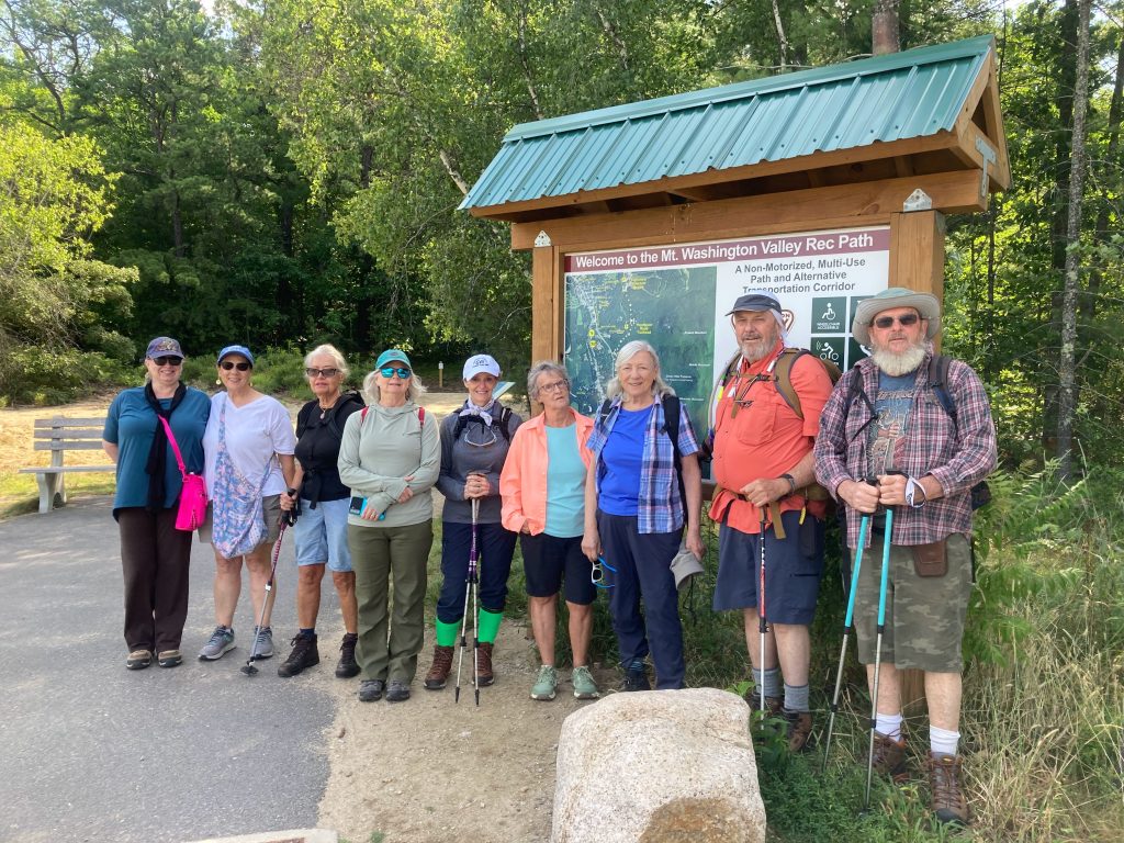
Ten Denmark Mountain Hikers gathered at the trailhead parking lot next to the North Conway Walmart under sunny skies with the temperature in the mid-seventies and a gentle wind. Hiking today were Jeff Sturgis, Jacob Schor, Kathy Huchthausen, Tammi Branden, Sandy Bell, Jean Murch, Beverly Reid, Dianne Campos, Phil Johnson and Charlotte LaBelle. After our group picture, we hit the trail at 9:20 am.
We first visited all the rusting relics that were left when the quarry was shut down in 1948; The old boiler that created the steam to power the quarry’s engines, the lathes that were used to turn the granite into beautiful columns, and the quarry pit itself, filled with water but with the big booms that lifted the stone still crookedly standing.
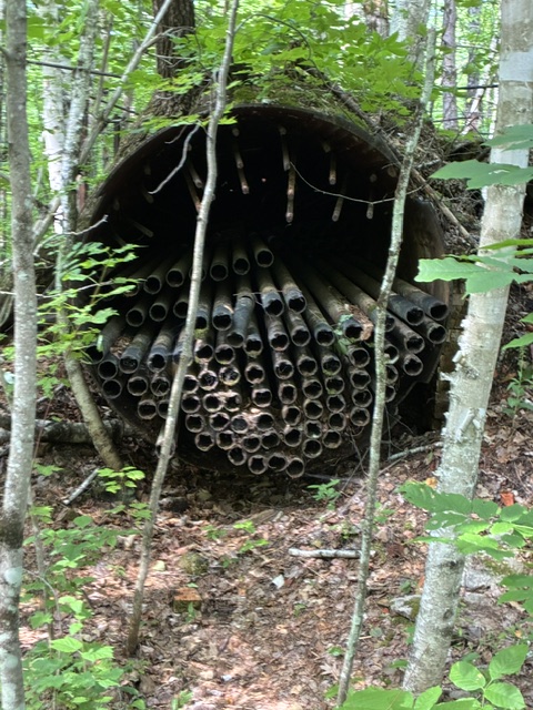
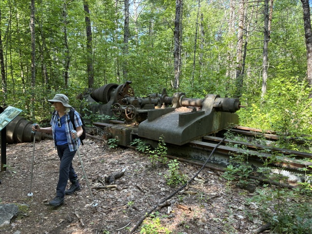
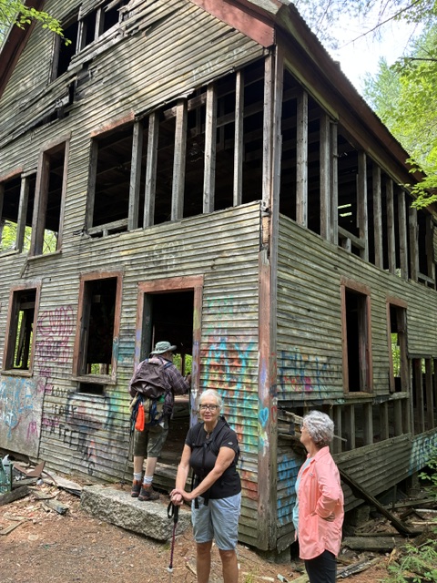
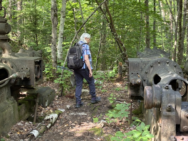
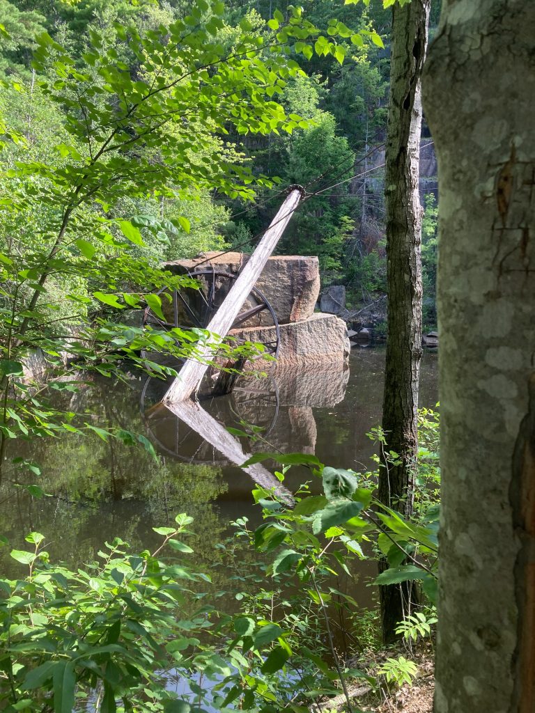
We paused at the pit for about 5 minutes admiring the engineering that lifted the stone out of the pit and placed them on the trolley cars that took them down to the lathes. Then we left for the trail that forms a loop through the beautiful deciduous forest that is on the slope of Rattlesnake Mountain. The trail rises and falls as it traverses the slope with many switchbacks that eliminate the steep grades. These trails are also used by mountain bikers so they are fairly smooth with gentle turns and several bridges over creeks and depressions.
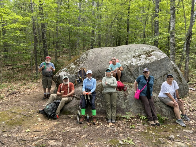
At about a mile in the trail takes can abrupt 180 degree turn around a big erratic. We chose this point for a lunch/snack break at 10:30 am. The moderate temperature and gentle breeze helped keep the bugs at bay for a pleasant rest below the leafy canopy. After about 15 minutes and another picture, we headed out for the last mile completing our counterclockwise loop at 11:20 am.
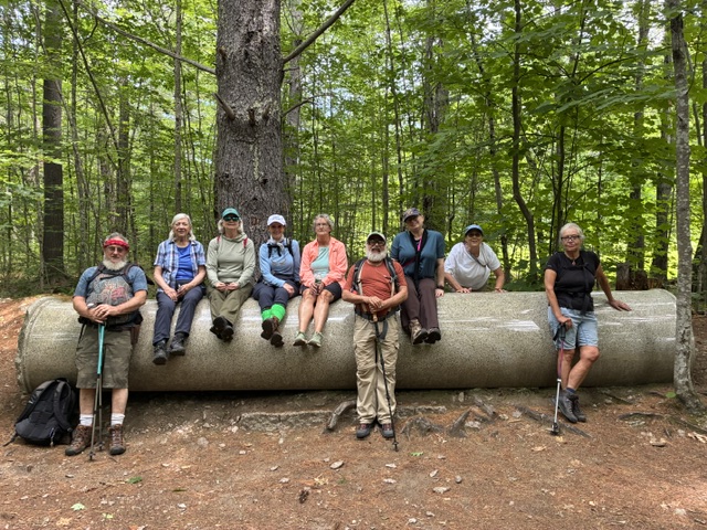
We did stop for a final picture at a beautiful 30’ granite column that rested alongside the trail and had been abandoned because it was chipped. We were fortunate that this hike had such agreeable conditions, escaping the humidity and extreme heat
The South Moat Hike Report
We’re still waiting patiently for the hike report from the group that climbed South Moat. still….. No that’s not true. I have a quick summary from Laura Sullivan:
“Great climb today !! Jim and Greg Dean decided to do the traverse.. all others went up and down South Moat.. no bugs !! Lovely breezes.. great day on the trail ..🥾😎”
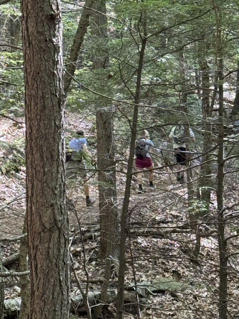
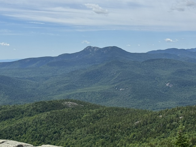
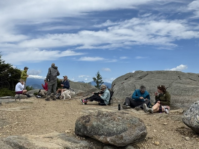
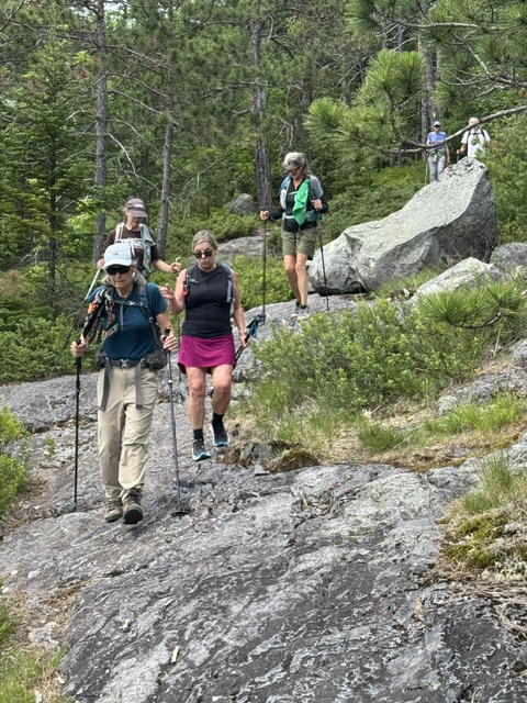
In the meantime here are a few photos that Laura shared to make us jealous:
Next Week’s Hike: Province Pond
July 24, 2026
| Province Pond (1,526 ft), Chatham, NH – 3.2 mi RT, 400 ft elevation gain. RT hiking 2.5 hours. RT driving 1.25 hours. Meet at the Denmark church at 8:30 a.m An easy walk to Province Pond and the USFS shelter next to the pond. We’ve done this six times, (I think),the last time in October, 2025.. This is a three-season hike as the access road is gated starting about mid-November and not maintained in winter. Muddy shores and not much fun for swimming. Directions to Province Pond trailhead: From the Fryeburg village post office drive north across the Saco River on River Road, and at 1.1 miles turn north onto East Conway Road/Route 113 towards Evans Notch. In another 1.0 mile where Route 113 turns sharply to the right, keep going straight on Green Hill Road/Route 321. Pass the eastern entrance to Hurricane Mountain Road on the left at 3.4 miles, and then at 4.3 miles from the Route 113/321 split turn left on Peaked Mountain Road/Forest Road 450 at the trail sign. Go 2.4 miles to the parking lot and the trailhead. Tucked away in a quiet corner of the White Mountain National Forest is a secluded mountain pond that is well worth a visit. Province Pond is a pretty, little mountain pond in Chatham, NH. It is actually two ponds – the original glacial pond on the north end and a beaver pond on the south end. Don’t be discouraged at the first view of the pond’s boggy south end from the trail. This southern half of the pond is more wetland than pond with stumps and standing dead trees harkening back to when there was active beaver activity there. But follow the trail along the east side of the pond to the north end and discover the deeper and lovely glacial pond. The north end also boasts a three-sided Adirondack-style shelter that sleeps six. It was built in the 1930’s and is maintained by the US Forest Service (USFS). The New Hampshire Fish and Game Department (NHF&G) lists Province Pond as one of their backcountry trout ponds, twelve acres in size and with a maximum depth of ten feet. The deepest part of the pond is on the north end. The NHF&G regularly stocks it with fingerling brook trout. The NHF&G also built a timber crib dam on the south end of the pond in 1960 to stabilize the water level because of the beaver activity. In 2009 the USFS replaced the older dam with an earthen and concrete structure, including a concrete spillway.Province Pond lies on the eastern edge of the 10,325-acre Kearsarge Inventoried Roadless Area. Dominating the skyline west of Province Pond are four small mountains – Mount Shaw (2,585 feet), the Twins (Gemini North at 2,519 feet and Gemini South at 2,490 feet) and Peaked Hill (1755 feet). The view across the pond to these small peaks is impressive. The mountains are an extension of the range extending northeast from Mount Kearsarge North. According to Steve Smith in his Mountain Wanderer blog, there was a network of trails on the Shaw-Gemini ridge in the 1930s and 1940s. These trails have all been abandoned for decades. There is an exposed ledge on the north shoulder of Mount Shaw. According to Smith there was a fire on the mountain started by a lightning strike many years ago (Smith quotes Dave Govatski, retired forester and fire officer from the White Mountain National Forest) and signs of the fire are still faintly visible. The last time we hiked the pond with Allen Crabtree was on July 19, 2024. If memory serves me right, That was the trip we stopped at the lean-to and took advantage of a friendly hiker who ws spending a quiet weekend up there alone and put up little resistance as we intruded on his privacy. We tossed extra wood on his campfire and preceded to roast red dogs on his campfire and made a nuisance of ourselves until we finally decided to head on back to the cars. Obviously much of the details in this description of the hike and its history was copied directly from Allen’s last email report. |

Leave a comment