South Moat Mountain Hike Report July 17, 2026
Submitted by Gordon Farrell
Friday morning, July 17, started out as a beautiful mostly sunny morning in the low to mid 60s with a very mild breeze and with a great turnout at the trailhead to ascend South Moat Mountain. In all 15 hikers assembled to make the ascent up South Moat, with 10 meeting in the Trailhead parking lot, an additional car of three hikers that met and carpooled from the Denmark Church, and two more that held up by traffic coming through Conway (but let us know that they would get a late start on the trail and who thhen caught up to us about a mile into the hike.)
Hiking today were Trudy accompanied by her dog Willow, Laura, Greg M, Jim, Polly, Patty, Gordon, Janet, Andy, Fred, Robert, Greg D, Sonya, Mike, and Turtle.
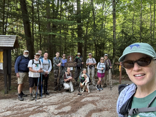
After the customary trailhead photo was taken by Laura, the group started hiking at approximately 9:20 AM led by Sonya with Gordon as the sweep. The planned out and back hike would take us 2.8 miles to the summit for a total of 5.6 miles round-trip with a total elevation gain of 2,132 feet with the summit at 2.901 feet.
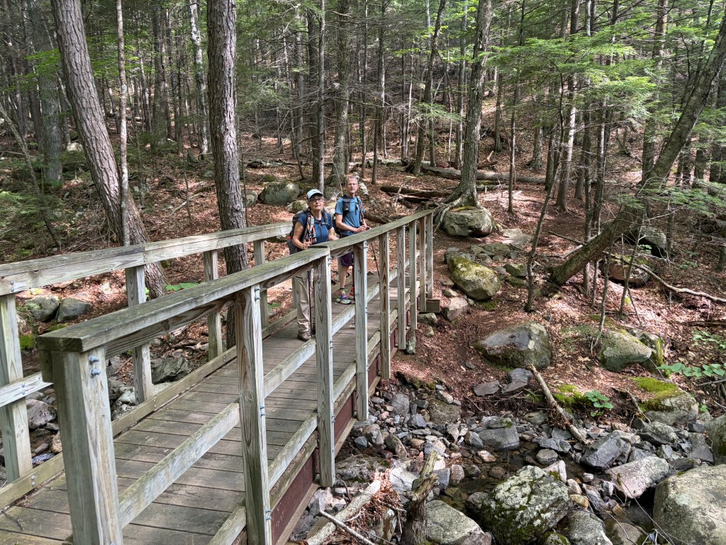
The trail starts out gentle and continues upward with a few ups and downs and level spots that give one the sense that “this trail isn’t as bad as everyone says” , but then it changes … About a mile in from the trailhead, we crossed the bridge over Dry Brook (which had water in it!) and the trail immediately turns upward to the summit.
Not too much further up the trail we encountered occasional open rock ledge areas, which had an abundance of blueberry bushes scattered on either side of the trail most of the way to the top. In one of these ledge areas, I noticed off to the right a number of orange tiger lilies that stood out like orange cones on the side of the road.
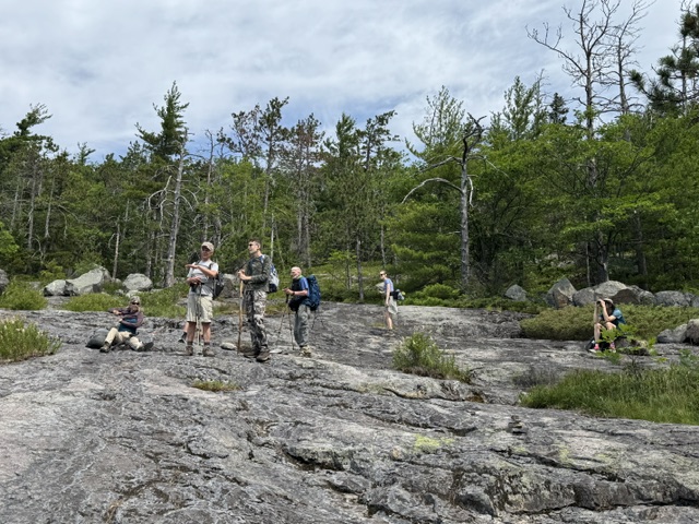
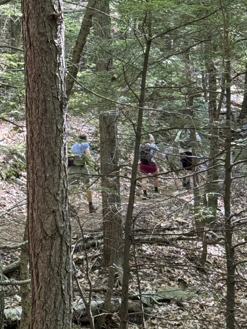
Continuing up the trail the temperature warmed into the 70s but still comfortable, but the occasional cool breeze was always a nice relief as we ascended toward the summit. The front group made it to the summit at approximately 11:45 AM followed by the sweep at about 12:05 PM.
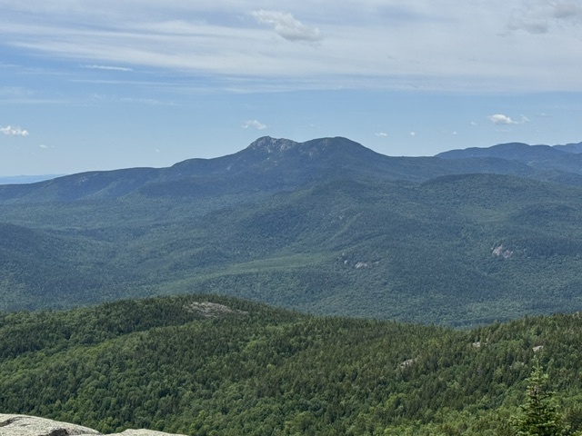
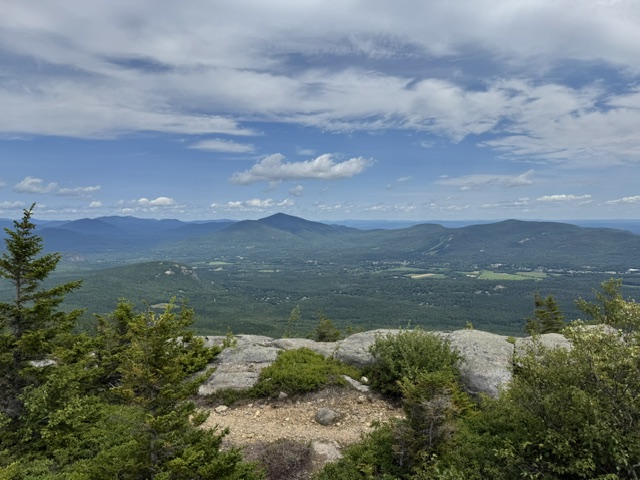
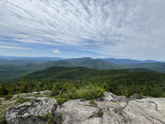
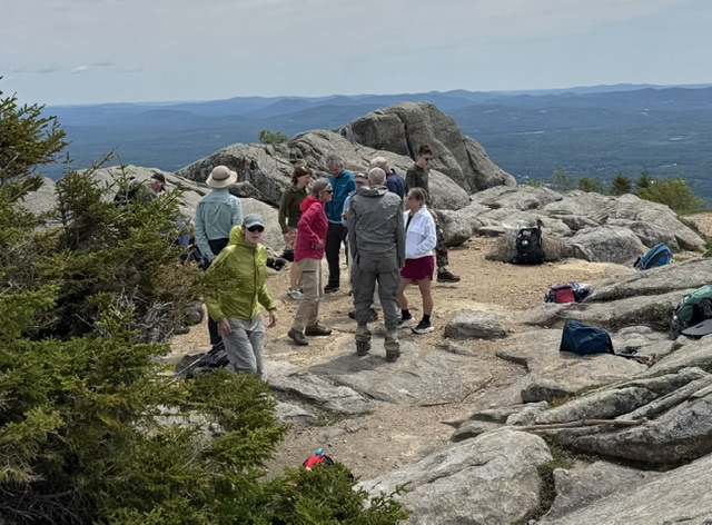

A drop in temperature back into the 60s and steady breeze at the top resulted in many to put on their wind shells, fleeces, and or jackets. Everyone enjoyed beautiful panoramic views at the summit while enjoying lunch, snacks, chocolate oatmeal no-bakems provided by Turtle and blueberry scones by Gordon.
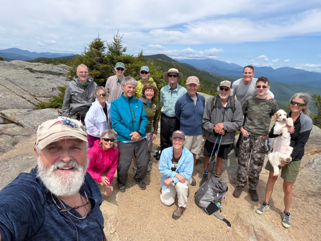
A summit photo was taken at 12:15 after which everybody started to pack up their gear for the descent back to the trailhead. At this point, Jim and Greg D continued North over North Moat continuing down to Diana‘s baths where they had spotted a car earlier in the day.
The descent was nearly uneventful… with one short bushwhack reported!
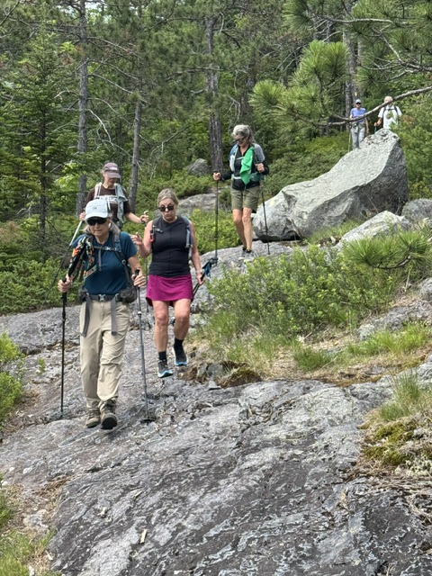
everyone returned down to the trailhead parking lot between 2:05 and 2:25 PM.
This week’s upcoming Hike: Province Pond
Kitty and Dale doublechecked our directions to the Province Pond trailhead early this week and reported:
“Kitty and I drove over to the trailhead this afternoon on our way to North Conway. Here is what I have. From Fryeburg Village take River Road, that’s the road by the post office, across the intervale over to route 113, turn right on route 113 north. proceed 1 mile and then stay straight on Green Hill Road proceed on Green Hill Road for 4.2 miles until you see Peaked Hill Road on the left, it’s also Forest Road 450. Follow that dirt road for 2.3 miles to the trailhead.”


Leave a comment