August 14 – Easy – Mt Cutler (1,232 ft), Hiram, ME. – 3.1 mi RT, 832 ft elevation gain. RT hiking time 3.0 hours. Rt driving time .5 hour. (HL – Greg Moulton).
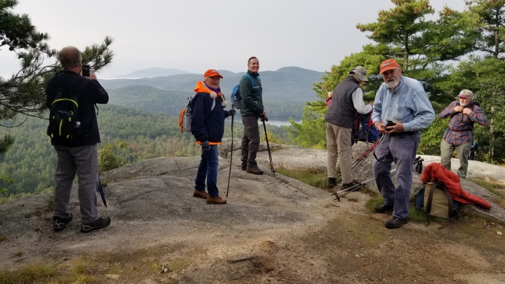
We last hiked up Mt. Cutler in December 2025. At the time our main concern was the parking lot, which apparently no longer had a volunteer to plow it. Oh, and the sheet of ice we had climbed up to get to the top. Neither should be be a problem this week.
Directions to the North Trailhead: From the west end of the Saco River bridge on Route 5/113 in Hiram go north and turn on Hiram Hill Road (left turn, or west). The trailhead for the North Trail and White Flag Trail begins off Hiram Hill Road on the left at the first turn beyond the railroad tracks.
or set your GPS thing for the trailhead parking address:

Leave a Reply