Submitted by Jacob Schor with great help from Greg Moulton and Dale Nelson
The Denmark Mountain Hikers climbed Mt. Cutler in Hiram, ME on Friday, August 14, 2026. About half a dozen or perhaps more initially met at the Denmark church and carpooled down to the Hiram trailhead and met a gaggle of others waiting patiently for them to arrive.
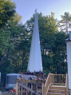
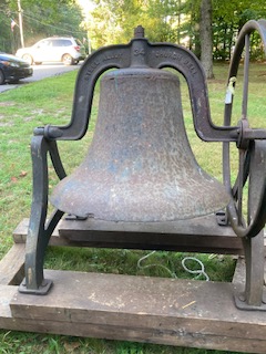
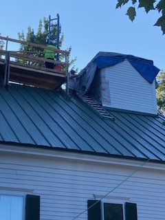
For those readers who haven’t been to Denmark recently, you may not be aare that the church’s steeple or is it bell tower is being renovated and the outer steeple is behind the church and the church bell is sitting beside the building.
The Hike Report: Mt Cutler
From Jacob Schor, Greg Moulton and Dale Nelson
In total, twenty-four hikers gathered at the trailhead parking lot.
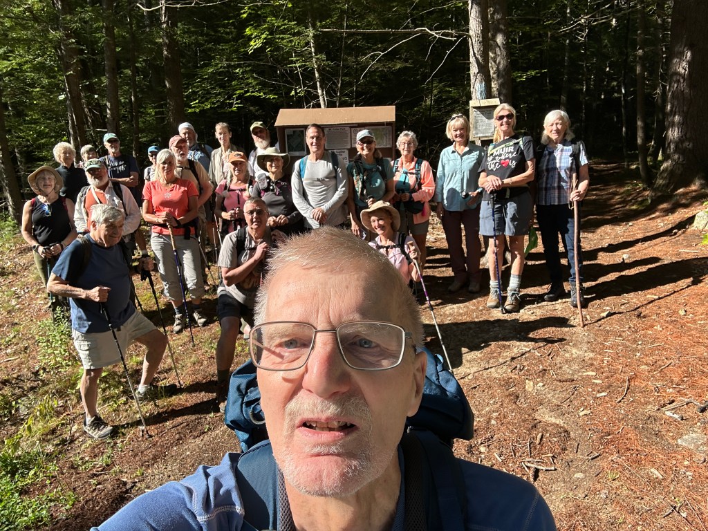
With such a large group, we decided to split into two smaller groups of more manageable size almost immediately, into what we designated the “fast group” and the “slow group.” Greg Moulton led the fast group and Dale Nelson the slow group.
This writer volunteered to be the overall sweep for the entire group and will have to trust Greg’s list of who was ahead of him on the trail. According to Greg’s draft hike report, “Hiking today were Greg Moulton, Jeff Sturgis, Dale Nelson, Fred Muratore, Susie Meuse, Jacob Schor, Andy Bradford, Marji Berkman, Allmuth “Curly” Perzel, Dianne Sinclair, Robin Marciello, Jean Murch, Phil Johnson, David Atchason, Polly Lombardi, Dianne Campos, Bev Reid, Tom Dugas, Janet Arens, Mary Wingate, Toni Carros, Kathy Huchthausen, Mary McEvoy, and Bob Muzerall.”
For the sake of correctness I won’t single out who was designated as slow nor who was fast.
After the obligatory group photo at the trailhead sign, the fast group hit the trail shortly after 9 AM and vanished up the trail, not to be seen again by the sweep. The second group took their time introducing themselves to each other, taking several more photos, adjusted their clothing, and eventually started on the trail at a reasonable pace.
The weather was beautiful: sunny, temperatures in the 60s to start, up into the low 70s, with low humidity. Both groups headed up the North Trail, then branched off onto the White Flag Trail, which leads up to the Front Ledges. This spot has an interesting view straight down into Hiram Village and the Saco River, as well as the hills to the east.
Several of us in the slower group wondered if a rock thrown from this vantage point might reach any of the roof tops below us. No one experimented.
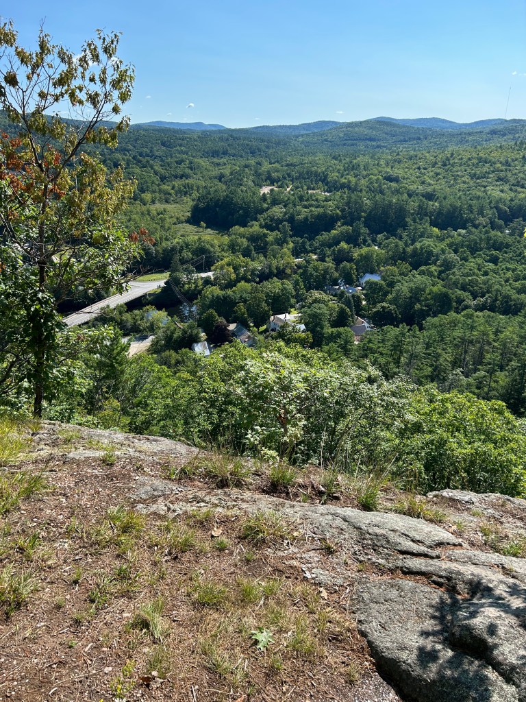
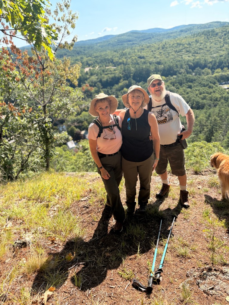
Greg describes how the fast group, “… then headed up to the ridge, via a steep but, thankfully, short stretch of climbing.” Somehow that section of the trail elongated by the time the second group reached it as we had to trudge up a asteep section that seemed to never end. Once past the steep bit, the trail follows an upsloping ridge that frequently opens to spectacular views of the valley below. It is a beautiful walk along the ridge, lots of open areas and several good viewpoints. Greg says his group “… took a break at so-called Gunsight Ledge, which has views both north and south.
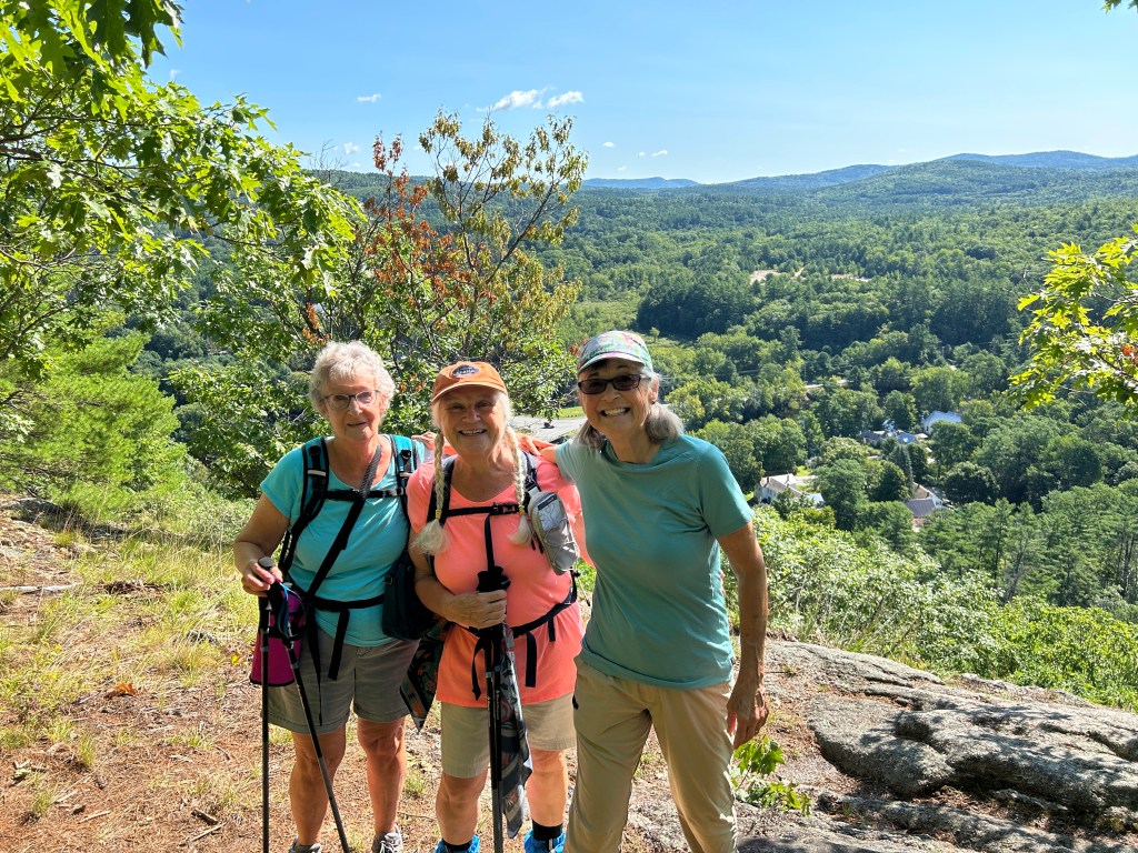
The northern view included many of the White Mountains including Mt. Washington, though with the traditional cloud obscuring the very top. We hung out for a while eating snacks and enjoying the view, though we needed to scramble around to find a shady spot.” The slow group trudged along and eventually took several breaks to rest and enjoy the view, including one longer break but they guy in the back didn’t over hear if any of the stops had specific names.
The eager beaver hikers up front continued along the ridge. And apparently, they had “…. some discussion whether to bushwhack to the true summit of Mt. Cutler, which does not have an official trail. Eventually we decided that we had had enough fun for one day. So, we descended via the Northwest Trail, Link Trail and North Trail, getting back to the trailhead at around 11:30. Polly’s GPS reported 2.8 miles with 761’ elevation gain, in 2 hours and 35 minutes.”
While that summit or not debate was going on, the second group was still posing for group photos further down the trail:
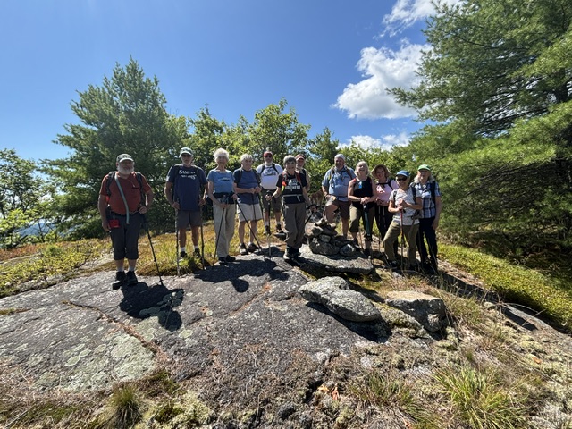
The second group didn’t need to debate whether to extend the hike by searching for a summit and simply headed down the hill back to the lot. By the time the sweep reached the parking lot, it was nearly empty. Andy and I drove up to Brownfield market and spent some money on things I’m told I shouldn’t have bothered getting.
Between the weather, the views, the lack of insects, the well maintained trails, and the good spirits shared by all of us, this was a perfectly pleasant hike. A perfectly pleasant day.
Pleasant though the hike was, I was instructed that in the future we will classify the difficulty of this hike as ‘moderate’ rather then ‘easy’ as we have described it for many years.
Next Week:
August 21– Easy – Mountain Pond (1,650 ft), Jackson, NH. 2.6 mi RT, 78 ft. elevation gain. RT hiking 2.0 hours. RT driving 2 hours. (HL – Polly Lombardi)
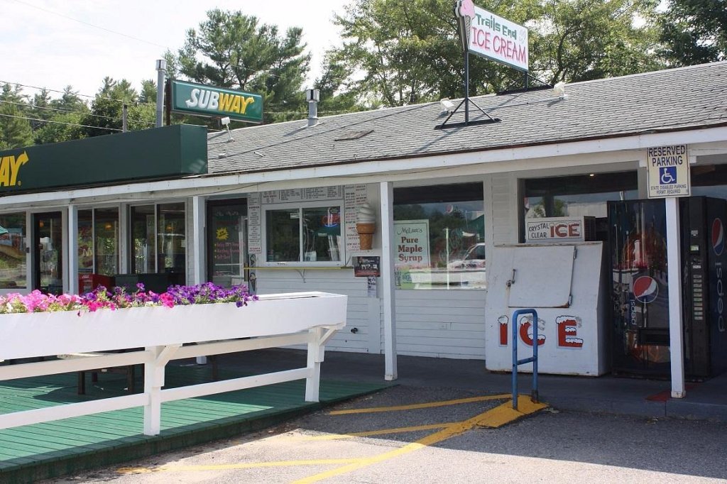
Note: we will meet at the church and carpool to N. Conway and meet the rest of the group at that scenic viewpoint parking lot (with the rest rooms) across from the ice cream store and leave as many cars as we can there. Those public restrooms are located at the Intervale Scenic Vista (also listed as Public Toilets at 3654 White Mountain Highway), situated just north of North Conway proper in Intervale, NH. Trails End Ice Cream Shop sits directly across the highway from this scenic rest area and visitor center.
The actual Mountain Pond Trailhead is located on Slippery Brook Road (Town Hall Road / Forest Road 17) in Chatham, New Hampshire, within the White Mountain National Forest. But, we’ll carpool from the Intervale Scenic Vista.
Note: As we will be in the National Forest, we need to leave those Senior Park Passes in the windshields or get ticketed by the rangers for not paying.

Leave a Reply