PATTERSON HILL TRIP REPORT 9/4/2026
Dale Nelson
Overnight rain gave way to dense fog that lifted as the morning progressed. After traveling to the Greater Lovell Land Trust’s Patterson Hill Property via impeccably written directions, AllTrails and Google, with a few missing road signs along the way, twenty-one hikers eventually converged at the Groundhog trailhead for an easy hike to the top of Patterson Hill. This is a relatively new trail (3 years) named after the GLLT volunteers known as Groundhogs who built it. After our obligatory group photo at the trailhead, we commenced at 9:45am with Laura leading and Steve sweeping. Hiking today were Dale and Kitty N, Dianne C, Bev R, Jeff S, Tom D, Robin M, Pete S, Phil J, Laura S, Sandy B, Tina E, Jean M, Gordon F, Patti B, David A, Jacob S, Paul W, Steve K, Marji B, Kathy H, and dogs Ruby and Ophelia.
The bottom of the trail was a bit overgrown but soon opened up into a mixed hardwood/pine forest generally following an old stone wall to our North. There were a couple of cleared openings 1/3 of the way up where we could look back towards Sabattus Mt. that was still partially hidden by the lifting fog.
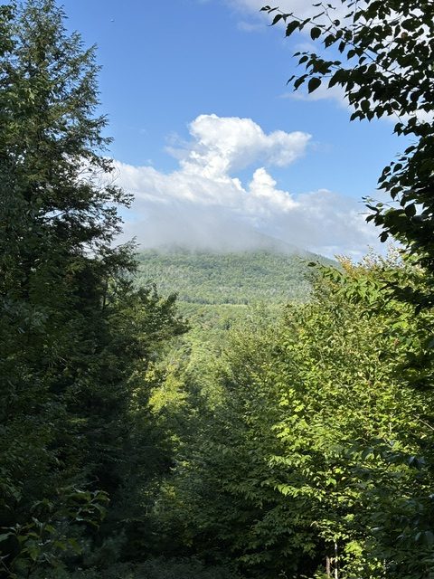
We strung out a bit but everyone arrived at the open summit at approx. 10:30am There were great views beyond the open grassy field W and SW from the Baldfaces to Pleasant Mt. with an undercast hanging over the Kezar Lake Basin.
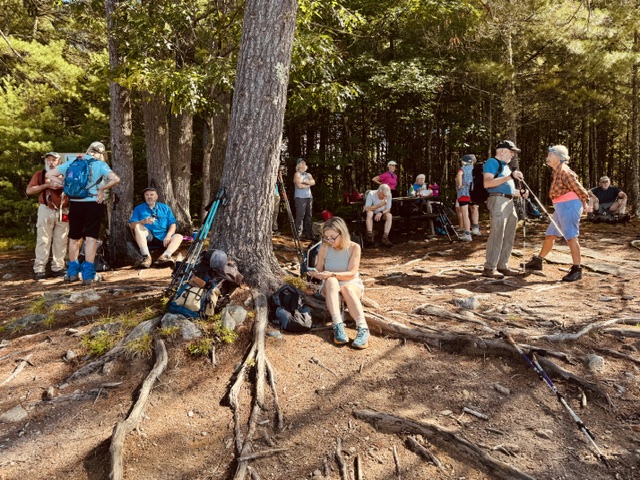
The picnic table and a couple of chairs by a fire pit were enjoyed. The summit is also frequented by ATVers as there is also an ATV trail to the summit. A dirt biker did arrive and quickly left while we were lingering.
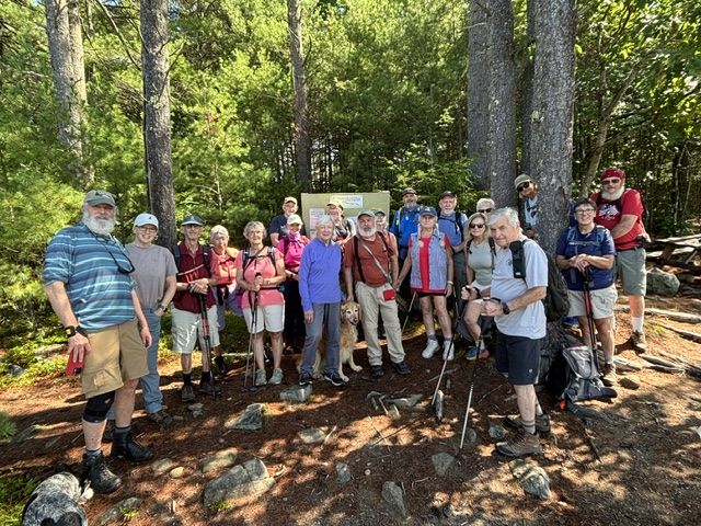
After our group photo, we headed back down the Groundhog Trail at 11:10 to our vehicles.
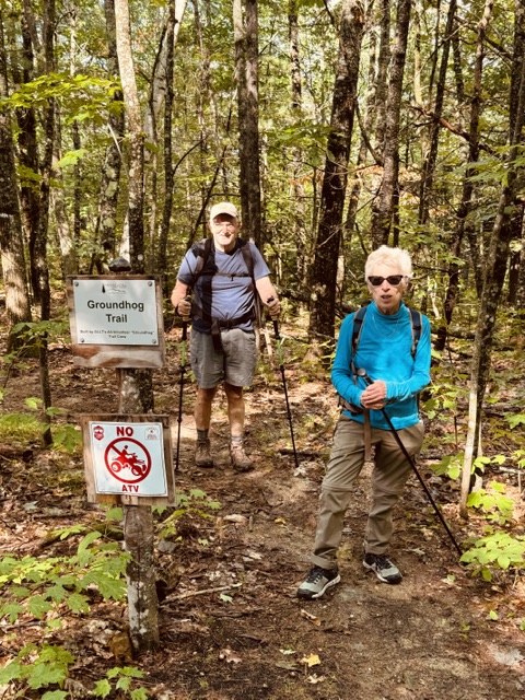
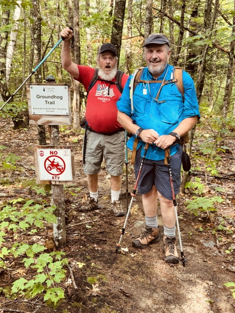
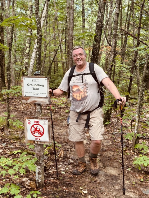
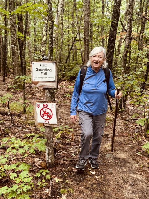
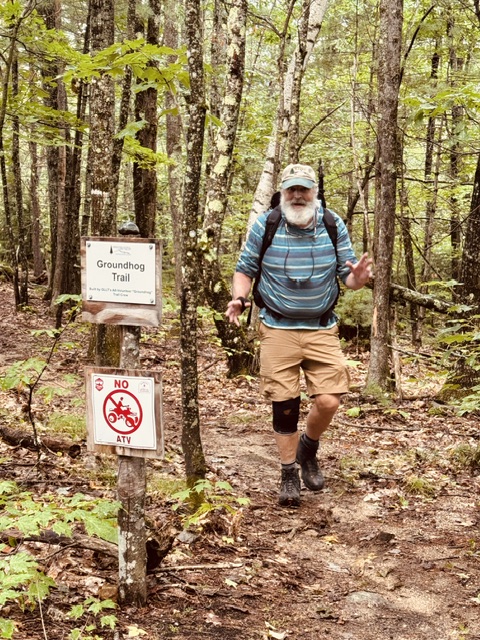
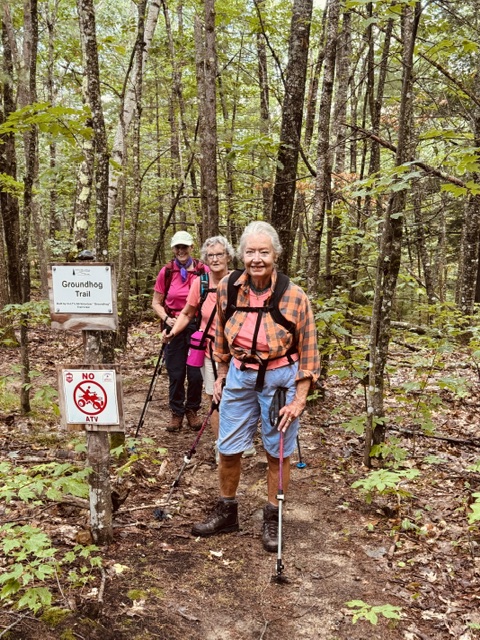
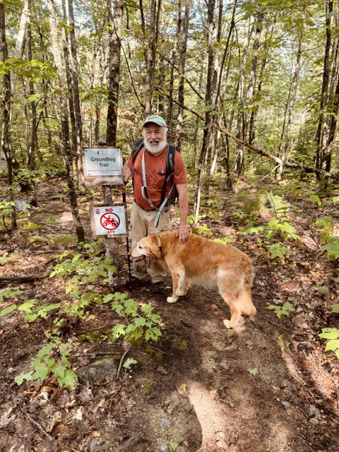
Dale, Kitty, Marji (and Ophelia) Kathy and Steve extended the hike by going down the Dan Charles Pond Trail to the Esker View trail to the shoreline.
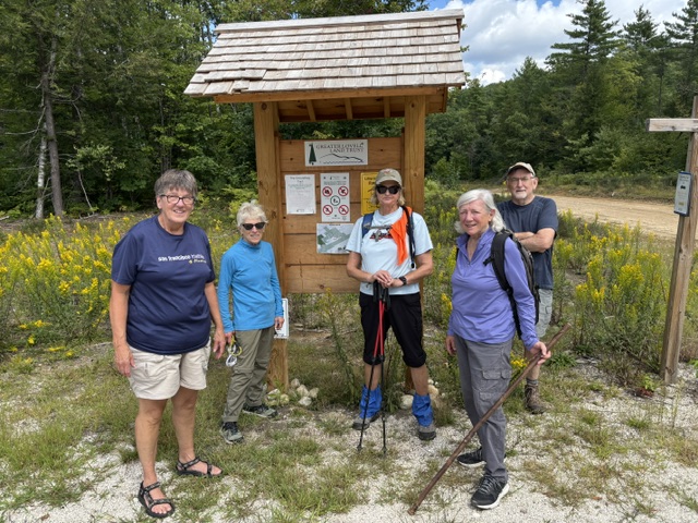
The view of the esker was obscured by the foliage and unimpressive. We did however see what we agreed was a porcupine ambling down the shoreline, the alternative choice would have been beaver, but the consensus was that it was moving too slowly, more at a porcupine’ amble than at a beaver’s. [No one considered the possibility that it was a groundhog]
We arrived back to our vehicles at 12:25pm.
Next Friday’s Hikes
September 11, 2026
Dual Hikes:
Middle Sister (hard) or Church Pond (easy)
Difficult – Middle Sister (3,340 ft), Albany, NH – 7 mi RT, 2,100 ft elevation gain. RT hiking 7 ½ hours. RT driving 2.0 hours.
Meet at the Denmark church at 8:30 a.m We’ll be climbing via the Champney Falls Trail to the Middle Sister and the old fire tower at the summit. Champney Falls waterfall is along the way. This is an old bridal path with several switchbacks. We should be free of the summer camp crowds. Last time we did Chocorua was Sept 2017
| Directions to the trailhead: Take the Kancamagus Highway 11.5 miles west from Conway to the Champney Falls/Chocorua Trailhead parking area on the south (left) side of the road. This is a WMNF parking area and a daily fee per car is required, either payable at the site or parking passes are available at the Saco River Ranger Station at the intersection of Route 16 and the Kanc at Conway. We will start at the Champney Falls trailhead on the Kancamagus Highway in New Hampshire. Meet at the Denmark church at 8:30 AM, or the trailhead by 9:30 AM. Directions to the trailhead: If coming from the east, e.g. from Conway, turn onto the Kancamagus Highway (Route 112) from Route 16. Champney Falls Trail is 10.6 miles on the left, with a large parking lot and sign. GPS coordinates 43.990118, -71.299304. [Note: Our older directions, say its 11.5 miles west from Conway to the parking area so if you don’t find it, go a little further.] Trip leader is Greg Moulton 339-203-1058 Gregory Moulton<gtmoulton@gmail.com |
Easy – Church Pond (1,251 ft.), Kancamagus Hwy, NH – 2.8 mi RT, 50 ft. elevation. RT hiking 1 hour 25 min. RT driving 2.0 hours.
Meet at the Denmark Church at 8:30 a.m. An interesting, short, level walk to Church Pond and the adjacent Church Pond Bog, with a crossing of the Swift River.
Bring your wading shoes for the river crossing.
Directions to the Church Pond trailhead: The trail begins in the Passaconaway Campground just off the Kancamagus Highway. There is a small parking lot with space for 2-3 cars next to Camp Site 19. The turnoff to the Passaconaway Campground is west of Route 16 in Conway, and is on the north side of the Kank west of the Sawyer Pond Trail and the Jigger Johnson Campground. Across the road from the Passaconaway Campground are the parking lot and trailhead for Potash Mountain and the UNH trail to Hedgehog Mountain. The campground is well signed.

Leave a comment