Oversett Pond Hike Report
October 2, 2026
By Jeff Sturgis
Fourteen Denmark Mountain Hikers gathered at the trailhead for Oversett Pond in Greenwood on an unseasonably warm and humid day. Hiking today were Jeff Sturgis, Laura Sullivan, Sue Meuse, Sandy Bell, Marie Coons, Beverly Reid, Diane Campos, Fred Muratore, Marci Bergman, Jacob Schor, Tom Dugas, Susan Sedita, Steve Kelly and Allmuth “Curly” Perzel. Before we left the trailhead, we were treated to a parade of about 30 jeeps which passed going down the gravel Wills Mills Road on their own backcountry adventure.
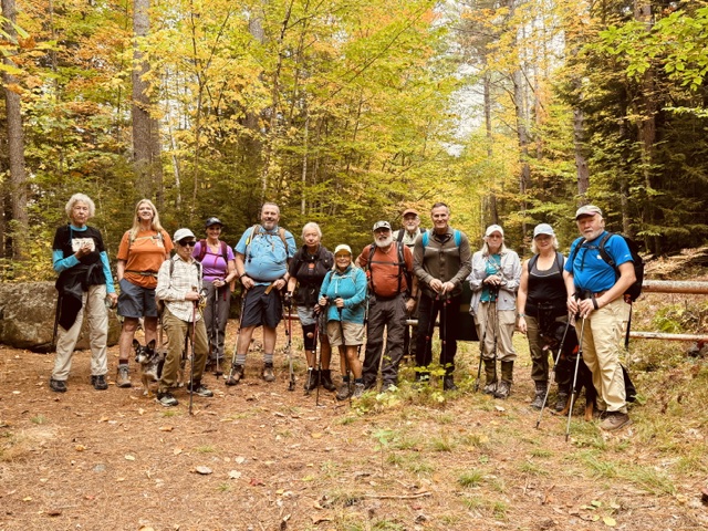
We then gathered at the gate to the abandoned Oversett Pond Lane at 10:00 AM, posed for the required group photo and started up the old road. After about a mile, we turned left, leaving the road and entered the forest on the Oversett Pond Trail. This short section of trail quickly meets an intersection where we took the right branch that goes in a counter-clockwise direction on the trail that loops around the pond ascending to the cliff tops on the way.
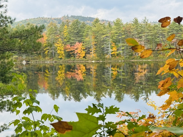
After a short stretch along the eastern shore of the pond, the trail starts to rise more steeply with several switchbacks moderating the climb. We reached the first overlook at 11:00 AM and the second, wider overlook five minutes later.

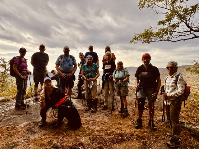
This spot provided nice views the to west and of the main body of the pond directly below. The unexpected warm, humid weather had slowed some of us as we climbed this modest 500’ of elevation gain.
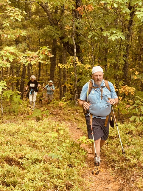
However, as we ate our lunches and snacks we noticed the sky to the north started to darken ominously. There had been predictions of the arrival of a rainy cold front arriving in the early afternoon, so we shortened our stay to 15 minutes and got back on the trail hoping to beat the precipitation. As we descended the loop around the northern shore of the pond the temperature started to drop and a slight breeze started to blow.
This section of the trail was very nice, especially after we descended to the level of the pond and circled the northern end through a bog over several stretches of a newly renewed boardwalk.
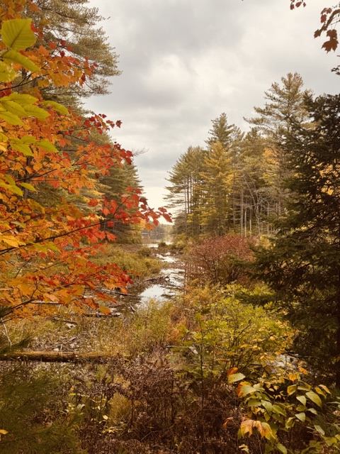
At this point the trail follows the western shoreline and provides spectacular views of the cliffs from which we had just descended. This section ends at the end of the main cove on the pond that has a small beach where there are several canoes placed by the locals for their use on the pond. We reached this spot at exactly noon.
Here we had three options: The Sanborn River Trail loops back to the parking lot and follows the river bank. (We have hiked this loop in the past, but knowing the weather report, we left it out of our planning for today’s hike.) This left us with two other options: we could continue on the trail along the shoreline of the pond, or we could follow the old road over which the canoes had been brought up. Still concerned about the pending rain, we decided that the old road would be a quicker option.
After a short stretch, this road passes a solid looking outhouse and then intersects with the road on which we had began our hike, so at 12:15 PM we started on the last leg to the parking lot. It started to sprinkle (on the front end of the line, but rain at the tail end) so we quickened or pace in order to beat the rain, and we were successful as we were all able to find the shelter of our vehicles by 12:45 PM.
This hike is becoming one of our favorites since we first did it in October of 2023 at Sandy Bell’s suggestion. It combines great views from the top of the mountain with equally nice views of the cliff from the trail at the bottom as it circumnavigates the pond.

Leave a comment