Greg Moulton
Seven Denmark Mountain Hikers climbed Mt. Potash in New Hampshire on Friday, October 9, 2026. Hiking that day were Greg Moulton, Jacob Schor, Tom Dugas, Fred Muratore, “Turtle” Ala, Andrew Bradford, and Janet Arens. We gathered at the parking lot for the Downes Brook Trail, off the Kancamagus Highway. We took the obligatory group photo at the kiosk.
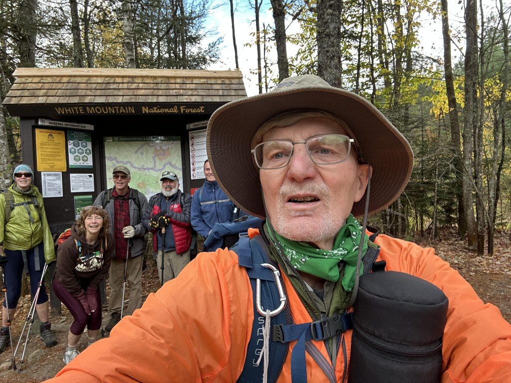
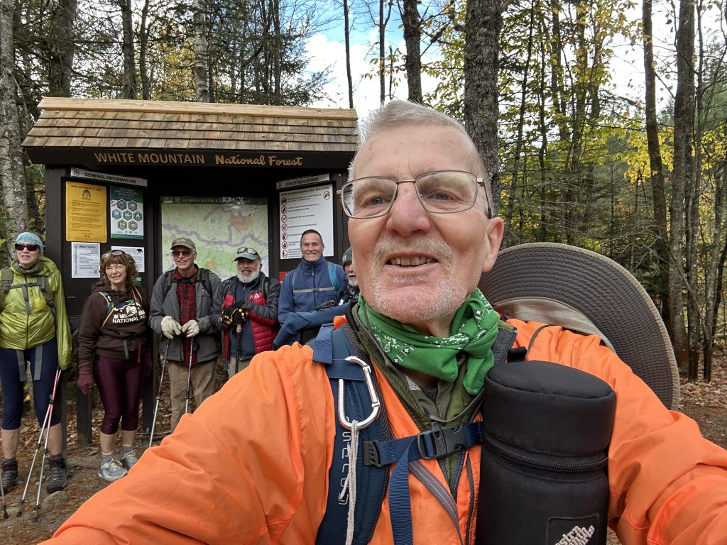
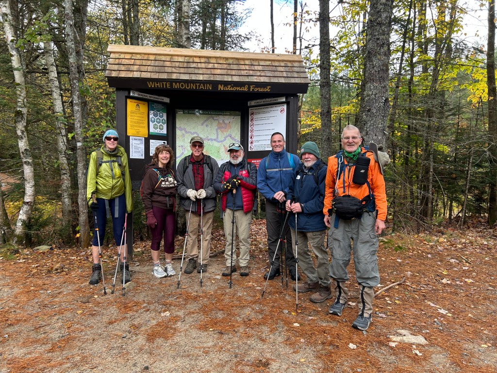
We started with beautiful weather: Cool, with partly sunny skies. Nice autumn colors in the trees. Perfect fall hiking weather, or so we thought.
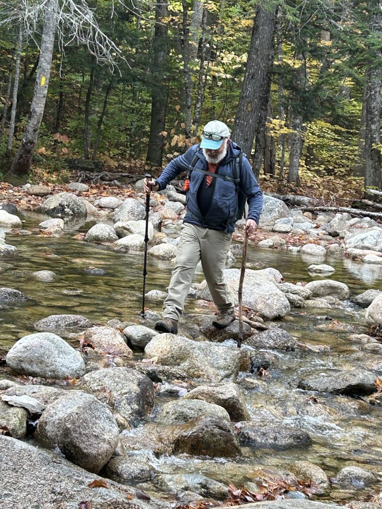
We started on the Downes Brook Trail at 9:45 AM. We soon branched off onto the Mt. Potash Trail. We then soon came to the infamous crossing of Downes Brook. The water was relatively low and we were able to get across stepping on rocks. Given the dry conditions and low water level, it was nevertheless surprisingly tricky to navigate across while keeping our feet dry. I wouldn’t want to try it in the spring! There is an alternate route to avoid this crossing. (This involves continuing 0.6 miles on the Kancamagus Highway, crossing Downes Brook on the road, to a gated gravel logging road, then walking up to the road, which joins the Mt. Potash Trail on the far side of the brook.) I would recommend this route for any conditions other than low water. Or consider bringing water shoes and stashing them at the crossing (well hidden).
We continued up the Mt. Potash Trail, moderate walking with decent footing, interspersed with occasional steep and rocky sections. We came to a ledge with beautiful views to the south and east, including Chocorua, Passaconaway and other mountains.
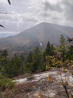
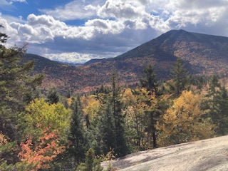
Continuing upward, we thought we felt sprinkles of rain, but thought we must be hallucinating, given the beautiful weather at the start. Eventually we had to admit it was actually raining, though lightly, not enough to stop and don raingear, at least at first. Apparently, a cold front was moving through, triggering a brief period of rain and wind.
We met a hiker coming down from the summit, who informed us that another hiker was waiting for us at the top. We were speculating who this might be, when he added “He has a gnome”. That clarified it, and we knew it was Paul Waterhouse. Sure enough, we met Paul at the top. He had started the hike earlier, hiking solo because he didn’t want to slow us down.
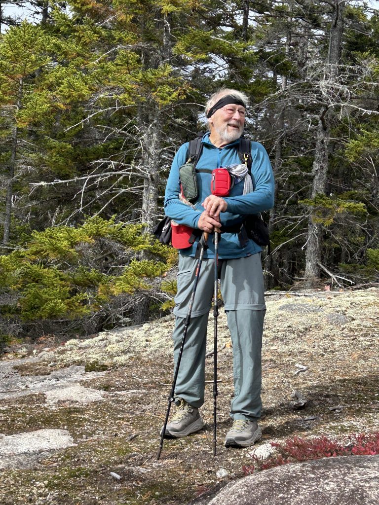
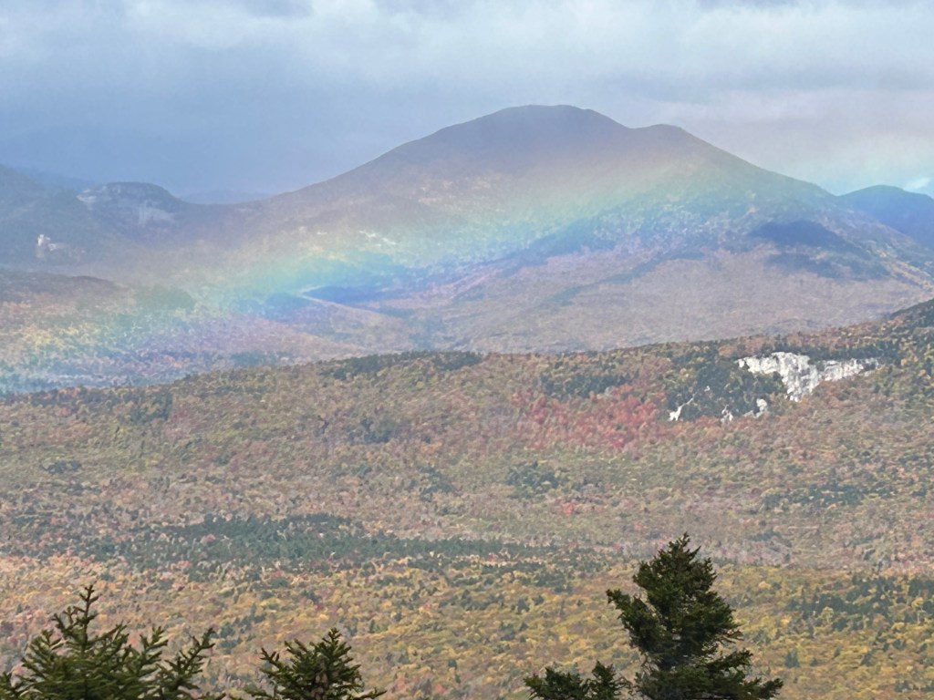
We reached the summit at 12:00 Noon. There were excellent views in multiple directions of surrounding mountains. One highlight was the appearance of an unusual rainbow. It was unique in that it was lower, in front of the opposite mountainside, instead of up in the sky. We admired it for a while and took pictures, which may not have captured its special appearance.
Though the summit was beautiful, we did not linger long. It was quite windy and cold, not very comfortable.
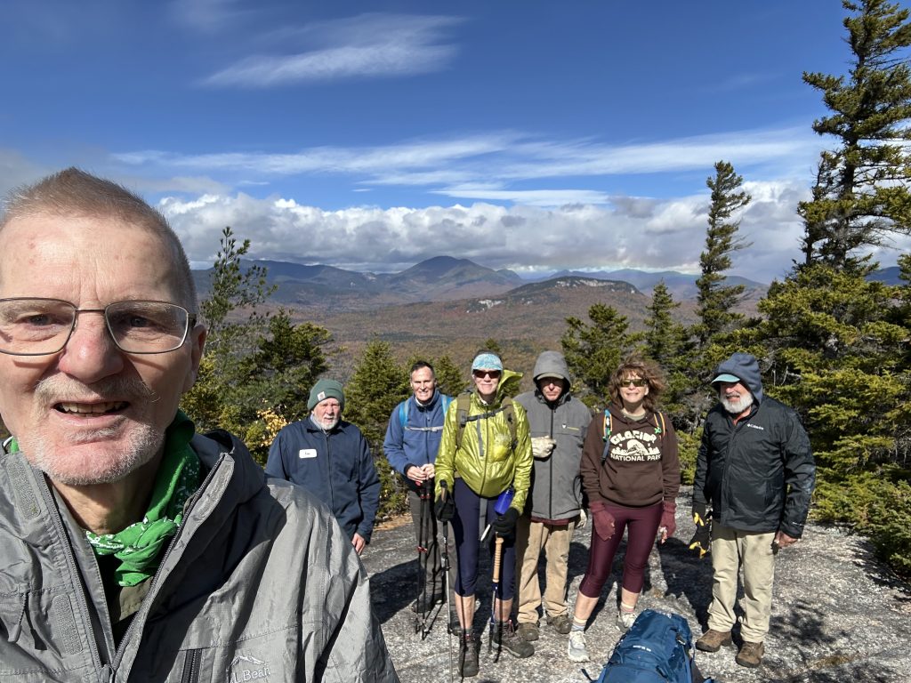
Also, it was still raining lightly, and we wanted to get down the summit ledges before they became wet and treacherous. So, after ten minutes we headed down. We made our way back to the viewpoint ledges we had passed on the way up. This turned out to be the perfect lunch spot. It was mostly sheltered from the wind, relatively warm and the sun was again shining, and the view was still spectacular. We ate lunch, took pictures, and admired the view.
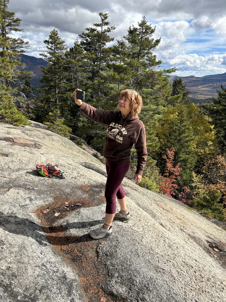
After 20 minutes, we got back on the trail and headed down. The descent was uneventful, but very pleasant walking through the colorful autumn woods. We arrived back at the parking lot at 2:10 PM. Greg’s GPS showed 4.24 miles and 1430 feet of elevation gain, and an elapsed time of 4 hours and 25 minutes. A very enjoyable hike in beautiful fall conditions.
[Jacob’s addendum: If anything, Greg is understating the superlative qualities of this hike; it was a perfect day to hike on a lovely and interesting trail. The colors were closing in on their peak for the year. The smattering of rain was well traded for the spectacular rainbow. I suppose if we had had a poem from Susan, a good batch of Rick’s cookies and a comment from Allen that this mountain had grown a few feet higher over the past few years, we could have said it was truly a perfect hike.]
Next Week Oct 16, 2026.
Two Hike Options:
The Hard one: aka– Difficult – East Royce Mtn. (3114 ft.), Evans Notch, ME. 2.6 mi RT, 1650 ft. elevation gain, RT hiking 4.0 hours, RT driving 2.0 hours. (HL – Greg M)
Or
The Easy One: as in not so hard… The Roost (1,364 ft) Evans Notch, ME – 1.7 mi RT with 514 ft elevation gain. RT hiking 1 hour. RT driving 2 hours. (HL – Jeff)
More Details:
East Royce Mtn. (3114 ft.), Evans Notch, ME. 2.6 mi RT, 1650 ft. elevation gain, RT hiking 4.0 hours, RT driving 2.0 hours. (HL – Greg M) Though not long in distance, this hike is rated Difficult due to steepness and rock scrambling.
Directions to trailhead:
The trailhead parking for the East Royce Trail is the same one we used for Speckled Mtn. via the Spruce Hill Trail.
Going north on Route 113 through Evans Notch, the parking lot is 3.1 miles north of the road to the Basin Recreation Area. It is also 0.6 miles north of the Evans Notch height of land and scenic turnout. Parking lot and trailhead are on the left (west) side.
GPS coordinates are 44.305002, -70.989692.
Meet at the Denmark church at 8:30 AM, or the trailhead at 9:30 AM.
The Roost: the easy one
A short hike up to the summit and then down a spur trail will reveal spectacular views of the Wild River Valley. Hikers can continue from the summit down to the southern trailhead, which requires a .8 mile walk along the road to complete a 1.2 mile loop, or retrace the same path directly back to the northern lot.
The Roost trailhead is along Route 113 (closed in winter), 2.8 miles south of Route 2 in Gilead, Maine. Hikers can park at the small gravel pull off by the trail sign, or at the larger Hastings trailhead .2 miles south of there where Route 113 meets Wild River Road.
Latitude: 44.35679855 Longitude: -70.9918308
Below is a description of this hike from a September 2023 Hike report that Allen Crabtree wrote:
“The Roost is a small peak, only 1,374 feet in elevation, but after a short sometimes steep climb, hikers emerge on a ledge facing southwest. There is no view from this ledge but a Forest Service sign “Scenic View” and arrow directs the hiker to a more exposed ledge only 0.1 miles down the mountain to the west. From this second ledge there are expansive views of the western mountains of the Wild River Wilderness – well worth the side trip.
“The first time the Denmark Mountain Hikers climbed East Royce in Evans Notch was on August 2011 and since then we have climbed it a total of 7 times including our 2023 hike. I swear the climb has gotten harder, rockier, steeper, and longer every time since our first hike 12 years ago.
“As I have grown older the trails that I climbed in the Whites 60 years ago have grown longer, and steeper, and much more difficult. Even when hiking familiar trails my mind easily remembers the spectacular views and pleasant stretches but blocks out the steep and rocky scrambles and the tricky stream crossings along the way. East Royce was no exception.”
Meet at the Church at 8:30 or the trailhead about an hour later.

Leave a Reply