It appears Dale and I are talking about the same place for starting the hike. Dale’s directions: ” we’re gonna use the trailhead off of route 160. As far as directions, Suffice it to say starting at the intersection of 160 and Rte 5/113 in Brownfield take Pig Road for about .8 mile take a left onto 160 go about a mile. Right after Burnt land Pond on your left, you go around the curve and the trailhead is on your immediate right. I will meet at the Denmark church.”
If I put 400 Spring St, Brownfield, ME 04010 into my phone’s map app. it reveals this map below and a trailhead location, which I assume is the same place Dale is talking about:
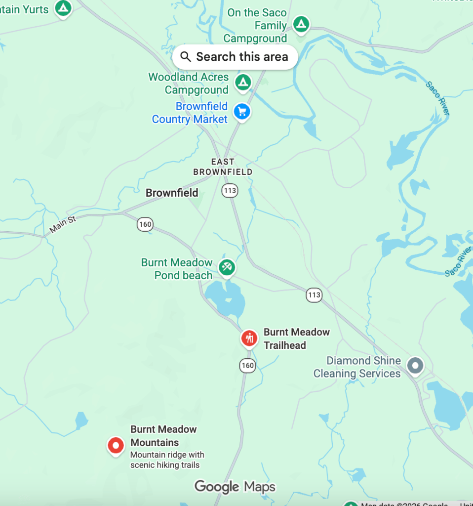
For those of you wondering, as I am, where this Pig road is, not to worry. Dale promises to meet us at the church and lead us all down to the trailhead. Looking forward to seeing you this Friday.

Leave a Reply